Aire and Calder Navigation
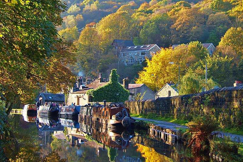
The main line of this river and canal system is 54.4 km (34 mi) in length and starts in Leeds, ending at Goole Docks. The Wakefield Branch joins at Castleford Junction and is 12 km (7.5 mi) long wi...
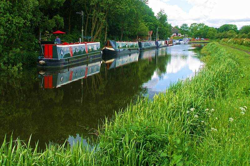
The main line of this river and canal system is 54.4 km (34 mi) in length and starts in Leeds, ending at Goole Docks. The Wakefield Branch joins at Castleford Junction and is 12 km (7.5 mi) long with four locks. Much of the Wakefield branch and the Leeds to Castleford section is now used primarily for leisure purposes, while the lower reaches are still used for commercial traffic.
The n...
Things to do near Aire and Calder Navigation
3 Hours Guided Tasting Experience of Ripon
Roundabout in Roundhay Park: A Self-Guided Audio Tour
The Hunt, an exciting cat-and-mouse game in Leeds
Fun, Flexible Treasure Hunt Around Leeds with Cryptic Clues & Hidden Gems
Afternoon Tea Cruise in North Yorkshire
Day Boat Hire
1-Hour Public Cruise
Unique Scavenger Hunt Experience in Leeds by Zombie Scavengers
Sunrise Hot Air Balloon Flight Over York
eBike Tour in York City
Luxury Private Day Back Roads Whitby Moor & Coast
Luxury Private Yorkshire Dales National Park Tour
Luxury Private Road Trip Tour York to Edinburgh
Welcome to York - The River Route
Welcome to York - The Royal Route
Interactive Treasure Hunt Experience of York's Secret
Map Reading and Navigation Course in Peak District
Sheffield: Self-Guided Walking Tour & Interactive Treasure Hunt
Peak District – Online Self-Guided Road Trip Plan
Fun, Flexible Treasure Hunt Around Sheffield with Cryptic Clues & Hidden Gems
Indoor Illuminated 9 Hole Golf in Matlock Bath Peak District
Immersive Murder Mystery in Sheffield - Outdoor Escape Experience
Sheffield Tour App, Hidden Gems Game and Big Britain Quiz (1 Day Pass) UK
Attractions near Aire and Calder Navigation
Activities
About Aire and Calder Navigation
The main line of this river and canal system is 54.4 km (34 mi) in length and starts in Leeds, ending at Goole Docks. The Wakefield Branch joins at Castleford Junction and is 12 km (7.5 mi) long with four locks. Much of the Wakefield branch and the Leeds to Castleford section is now used primarily for leisure purposes, while the lower reaches are still used for commercial traffic.
The navigation authority is the Canal and River Trust and the Navigation forms part of the North Pennine Ring and the (as yet incomplete) Yorkshire Ring. Fishing along the canal is managed by the Boothferry, Aire and Calder Joint Canal Committee and day tickets are available locally – there are some facilities for wheelchair users. Walking and cycling along the towpath are also popular and a number of longer routes incorporate stretches of the canalised river.
