Catstye Cam
Catstye Cam Facts
Elevation: 890 m (2,920 ft)
Mountain Range: Eastern Fells
OS Grid: NY348158
About Catstye Cam
Catstye Cam Facts
Elevation: 890 m (2,920 ft)
Mountain Range: Eastern Fells
OS Grid: NY348158
About Catstye Cam
Catstycam is the name used by Wainwright for this fell, although it is also known on many maps as Catstye Cam. The mountain is part of the Eastern Fells and an outlier of Helvellyn. From the summit o...
Things to do near Catstye Cam
Attractions near Catstye Cam
Activities
About Catstye Cam
Catstye Cam Facts
Elevation: 890 m (2,920 ft)
Mountain Range: Eastern Fells
OS Grid: NY348158
About Catstye Cam
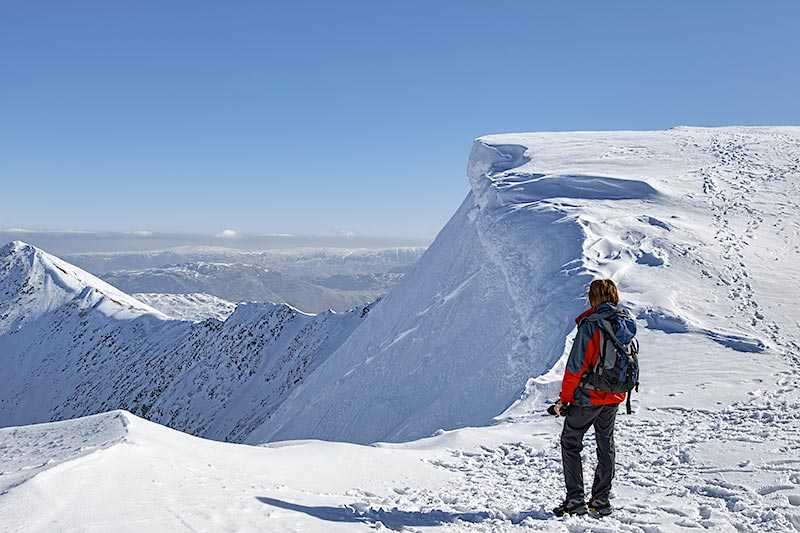
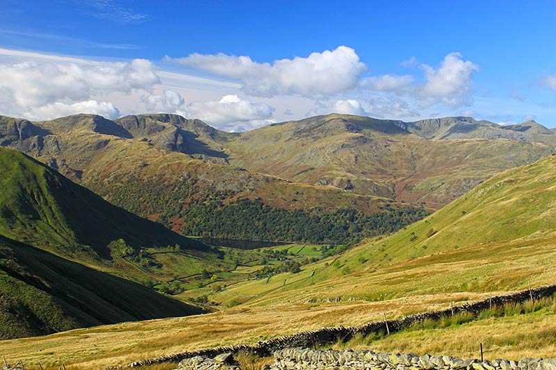
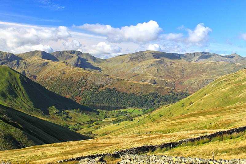
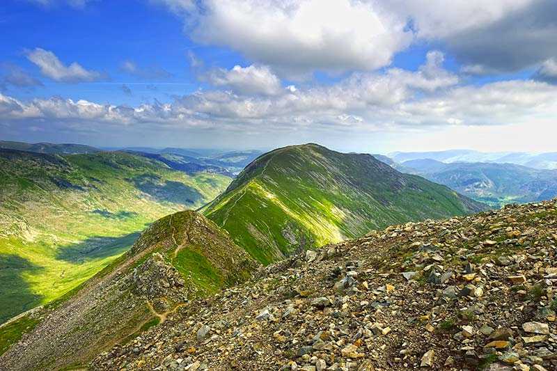
Catstycam is the name used by Wainwright for this fell, although it is also known on many maps as Catstye Cam. The mountain is part of the Eastern Fells and an outlier of Helvellyn. From the summit of Helvellyn, two ridges jut out. The southerly one is Striding Edge while the more northerly one is Swirral Edge. This curves down and back up over around half a mile, ending at Catsycam, which stands at 890 m (2,920 ft) and a prominence of 63 m (207 ft). Catstycam is therefore classified as a Hewitt, a Nuttall, a Wainwright and a Birkett and is the tenth highest in the Lake District.
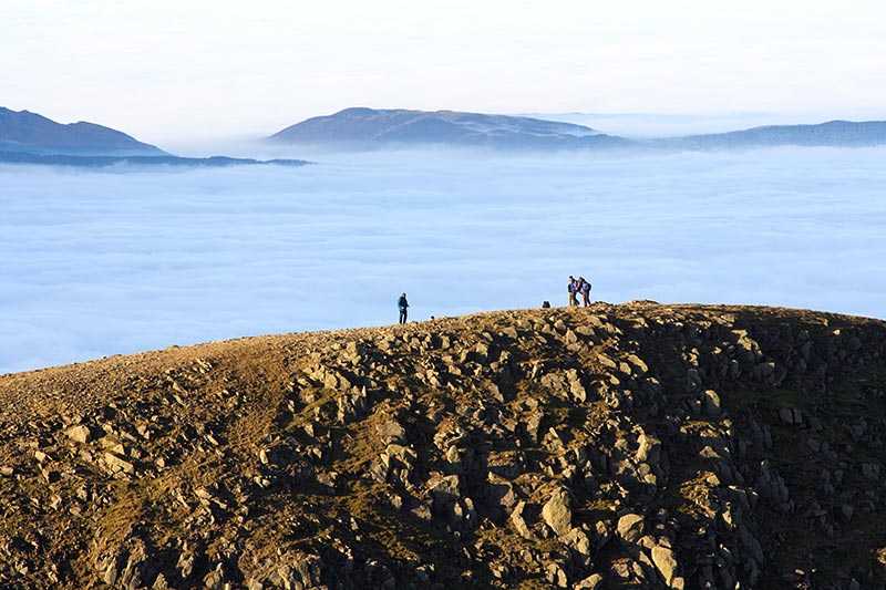
Its summit is an almost perfectly formed pyramid shape, dropping away on all sides, and topped by a small cairn.
Climbing Catstye Cam
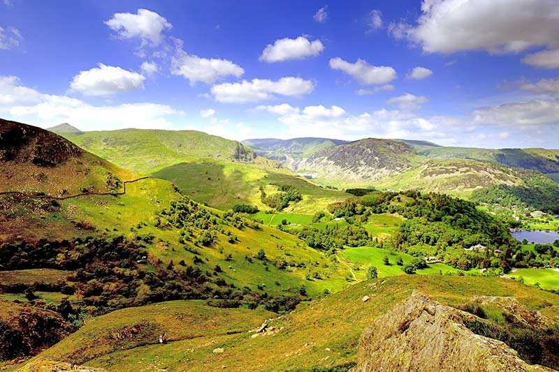
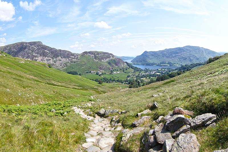
The most common ascent is from Glenridding, via the east or north west ridges. There is no technical skill necessary to ascend to the peak, although the approach itself is steep. Ascending Catstye Cam is often overlooked by hikers, who instead make for Striding Edge and Helvellyn, so it is often very much quieter and off the tourist trail. One recommended option is a circular route via Striding and Swirral Edges, which will take in Birkhouse Moor, Helvellyn and Catstye Cam itself.
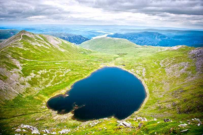
Lying to the south of Catstye Cam and between Helvellyn’s two ridges is Red Tarn, which provides an important habitat for the schelly, a freshwater fish found only in a few tarns within the Lake District, otherwise only seen in the Arctic. A path runs from Red Tarn to the midpoint of Swirral Edge, where there is a short detour to Catstye Cam’s summit.
