Haweswater Reservoir
About Haweswater Reservoir
Haweswater was originally formed by the damming of two natural lakes in the valley of Mardale in Cumbria, a controversial measure at the time which saw the villa...
About Haweswater Reservoir
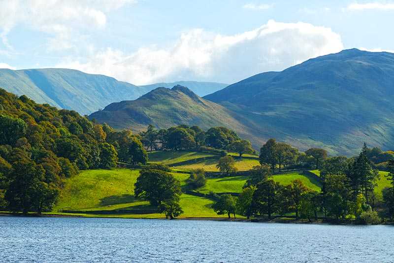
Haweswater was originally formed by the damming of two natural lakes in the valley of Mardale in Cumbria, a controversial measure at the time which saw the villages of Measand and Mardale Green being flooded and lost in its building. Its total surface area is 3.9 km2 (1.5 mi2) and its maximum depth 57 m (187 ft); it stands at a surface elevation of 246 m (807...
Things to do near Haweswater Reservoir
Attractions near Haweswater Reservoir
Activities
About Haweswater Reservoir
About Haweswater Reservoir
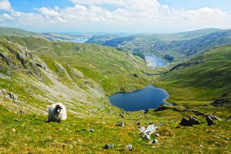
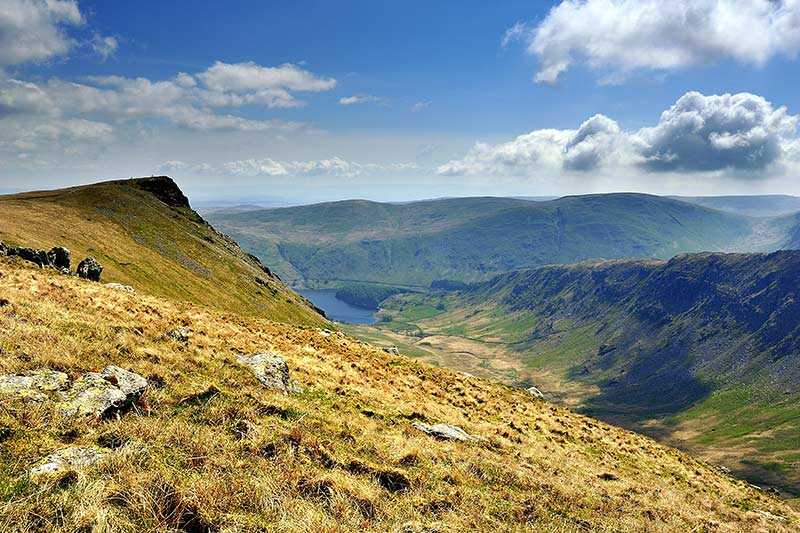
Haweswater was originally formed by the damming of two natural lakes in the valley of Mardale in Cumbria, a controversial measure at the time which saw the villages of Measand and Mardale Green being flooded and lost in its building. Its total surface area is 3.9 km2 (1.5 mi2) and its maximum depth 57 m (187 ft); it stands at a surface elevation of 246 m (807 ft). Its primary inflows are Mardale Beck and Riggindale Beck, while its primary outflow is Haweswater Beck. The site is owned by United Utilities plc and a road runs along eastern side of lake to the western end, where there is a small car park.
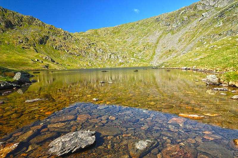
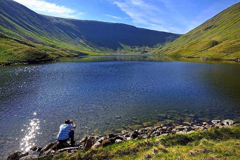
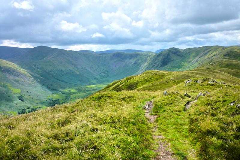
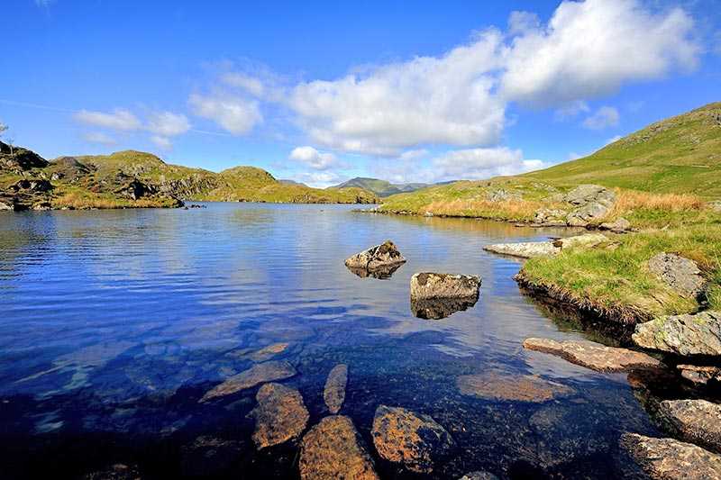
Haweswater is the most easterly of the lakes in the Lake District and also one of the most isolated, with no settlements along its shores. This has allowed it to remain comparatively unspoilt and peaceful. It’s possible to walk around the whole reservoir along the shoreline, but the western path is more accessible, attractive and has more features than the eastern one, where the pathway is intermittent. In contrast, a road runs along the entire eastern length, making for easier walking. When the water level is at its lowest, remnants of Mardale Green village are uncovered.
Haweswater Reservoir Outdoor Activities
Because the reservoir provides drinking water for around 25% of North West, activities on the water are restricted – swimming, canoeing or kayaking, sailing or power boating are not permitted. However, fishing is allowed and the area is a big draw for bird watchers.
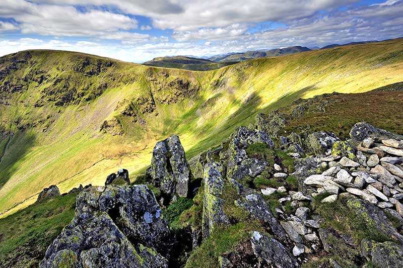
An RSPB observation point is in place (manned in spring and summer) around 2 km (1.25 mi) from western end of Haweswater along an uneven path for possible sightings of England’s only known Golden Eagle. Other upland and woodland birds in the area include buzzards, dippers, peregrine falcons and redstarts. There is also a chance of seeing red deer on the land around. Walkers are also attracted by the many walks in the area for all levels of ability and it is also on Wainwright’s Coast-to-Coast walking path.
Campsites and caravan parks are readily available.
