Hayeswater
Hayeswater is situated in a high mountain valley on the wild open spaces of the Eastern Fells, about 2 km (3.2 mi) to the south east of Hartsop village, in the valley of Patterdale. It covers aroun...
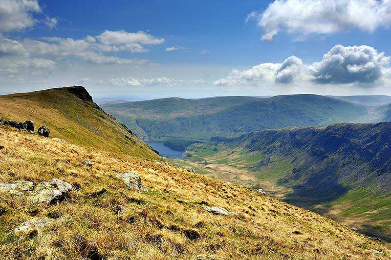
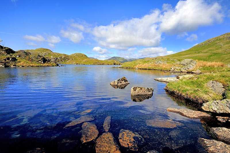
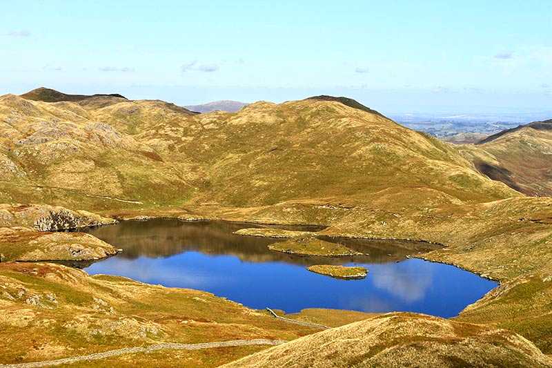
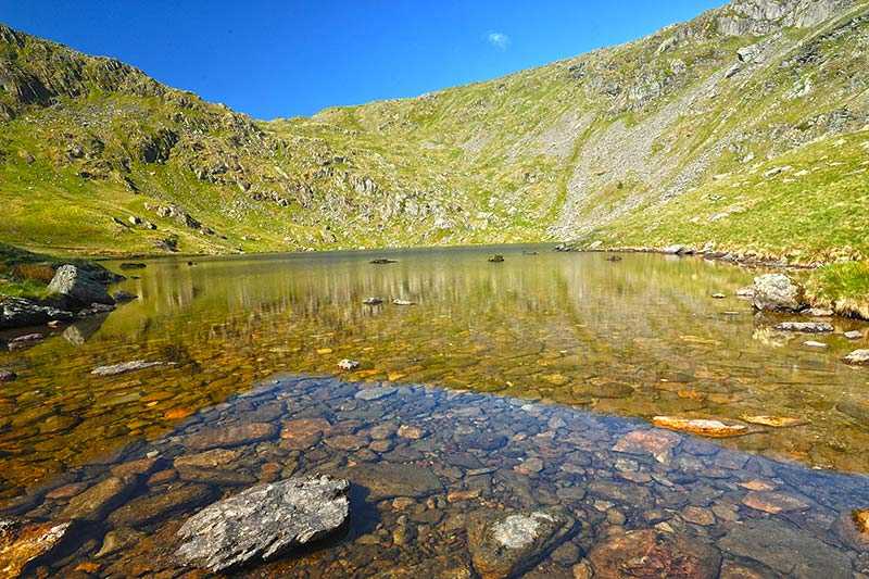
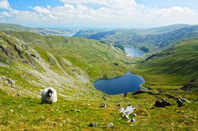
Hayeswater is situated in a high mountain valley on the wild open spaces of the Eastern Fells, about 2 km (3.2 mi) to the south east of Hartsop village, in the valley of Patterdale. It covers around 34 acres and has a surface elevation of 425 m (1,400 ft). The Knott lies to the west and Gray Crag to its east. Its primary inflow is Hayeswater Gill, which runs in from the south.
Originall...
Things to do near Hayeswater
Attractions near Hayeswater
Activities
About Hayeswater
Hayeswater is situated in a high mountain valley on the wild open spaces of the Eastern Fells, about 2 km (3.2 mi) to the south east of Hartsop village, in the valley of Patterdale. It covers around 34 acres and has a surface elevation of 425 m (1,400 ft). The Knott lies to the west and Gray Crag to its east. Its primary inflow is Hayeswater Gill, which runs in from the south.
Originally a natural lake, Hayeswater was dammed in 1908 to form a reservoir to provide water for the communities around Ullswater. However, it went out of service in 2005 when the larger Haweswater Reservoir began to be used for this purpose. In the summer of 2014, the owners - United Utilities - removed the dam and restored it back to a mountain tarn. A new river channel was constructed to re-establish the original tarn’s natural outflow into Hayeswater Gill, and step pools were created within the channel to allow passage for fish and other wildlife. A new footbridge has also been added along the public footpath. Nature will now be allowed to take its course, with new vegetation becoming established and the channel eroding and realigning as it will, over time.
Hayeswater is best approached from Hartsop village and access is via a mountain track - it is a stiff mile and a half walk from nearest car park. A circuit of the reservoir covers around 8 km (4 mi) of walking. The relatively isolated location means it is a quiet spot for walking or fishing for wild brown trout. Otters can be regularly seen and occasionally red deer on the slopes above the tarn. There is also a chance of glimpsing the only known Golden Eagle in England.
