High Raise (High Street)
High Raise (High Street) Facts
Elevation: 802 m (2,631 ft)
Mountain Range: Far Eastern Fells
OS Grid: NY448135
About Hi...
High Raise (High Street) Facts
Elevation: 802 m (2,631 ft)
Mountain Range: Far Eastern Fells
OS Grid: NY448135
About High Raise (High Street)
This High Raise is part of the Far Eastern Fells and not to be confused with High Raise, the high point of the Central Fells. Its parent peak is High Street and it lies...
Things to do near High Raise (High Street)
Attractions near High Raise (High Street)
Activities
About High Raise (High Street)
High Raise (High Street) Facts
Elevation: 802 m (2,631 ft)
Mountain Range: Far Eastern Fells
OS Grid: NY448135
About High Raise (High Street)
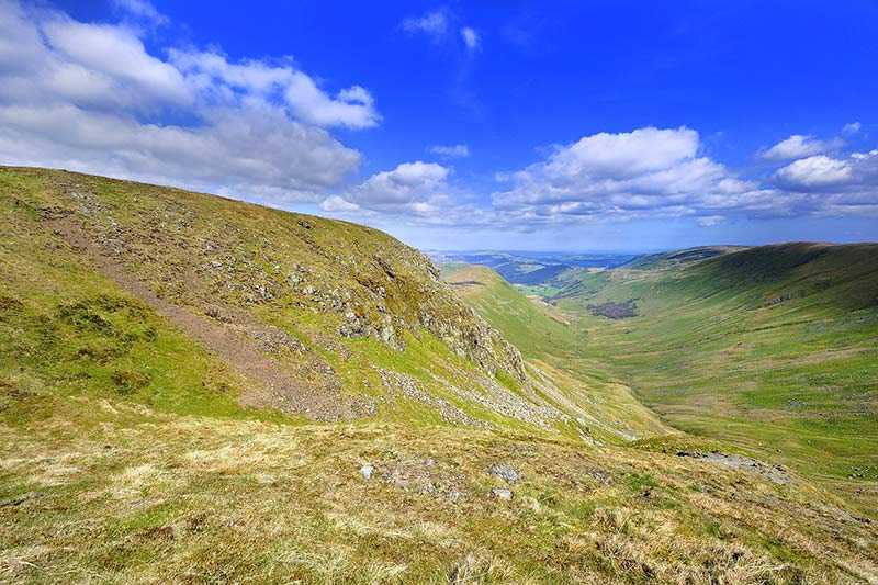
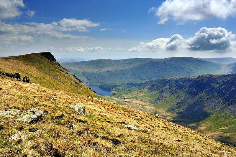
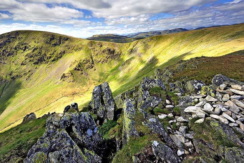
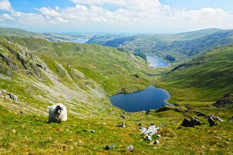
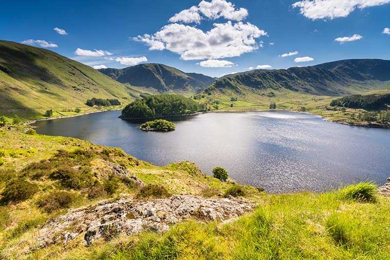
This High Raise is part of the Far Eastern Fells and not to be confused with High Raise, the high point of the Central Fells. Its parent peak is High Street and it lies to the west of Haweswater Reservoir, between Wether Hill and Rampsgill Head, and overlooking the quiet valley of Martindale. Its elevation is 802 m (2,631 ft) and its prominence circa 90 m (295 ft). Due to this, it is classified as a Hewitt, a Wainwright, a Nuttall and a Birkett.
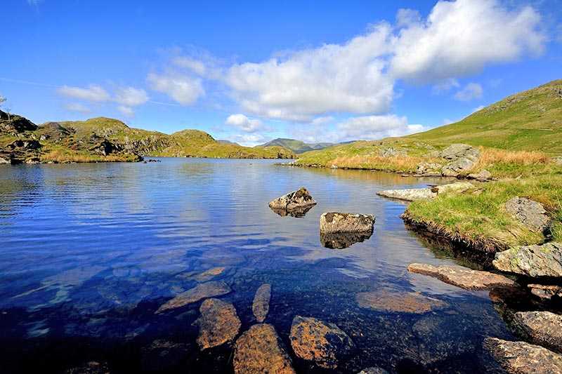
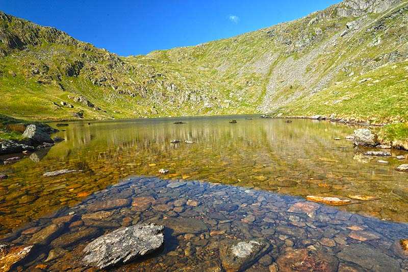
The Roman road passes the stony summit before continuing onto High Street to the south. At the summit itself, there is a large cairn. There are also terrific views, particularly westward, of the Lake District and surrounding areas.
Climbing High Raise (High Street)
The High Street runs over the fell, but other than this there are not many good paths. Ascents are usually made beginning from Martindale to the north, or from Mardale via the south east and north east ridges. There is also a bridleway that runs the length of the High Street range of mountains – experienced cyclists taking this route can take a brief detour to the top of High Raise as it skirts the summit.
As well as the Roman road, High Raise features the remnants of an ancient hill fort and the flooded village of Mardale Green on its eastern slopes, submerged when the water level of Haweswater Lake was raised to form Haweswater Reservoir in 1935. The ruins of the abandoned village emerge from time to time when the water levels are low.
