High Rigg
At an elevation of 357 m (1,171 ft), High Rigg is a small fell around 5 km (3 mi) from Keswick. It is a satellite of High Raise, but is unusual in that it is not obviously connected to any of the f...
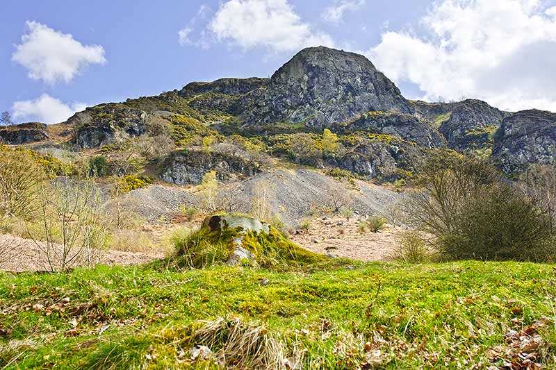
At an elevation of 357 m (1,171 ft), High Rigg is a small fell around 5 km (3 mi) from Keswick. It is a satellite of High Raise, but is unusual in that it is not obviously connected to any of the fells that surround it. Its prominence of around 189 m (620 ft) earns it as listing as a Marilyn as well as it being a Hewitt and one of Wainwright’s fells. It is only a short walk to the top – around...
Attractions near High Rigg
Activities
About High Rigg
At an elevation of 357 m (1,171 ft), High Rigg is a small fell around 5 km (3 mi) from Keswick. It is a satellite of High Raise, but is unusual in that it is not obviously connected to any of the fells that surround it. Its prominence of around 189 m (620 ft) earns it as listing as a Marilyn as well as it being a Hewitt and one of Wainwright’s fells. It is only a short walk to the top – around 20 minutes – if starting from the Church of St Johns in the Vale, making it one of the Lake District’s quickest fells to summit.
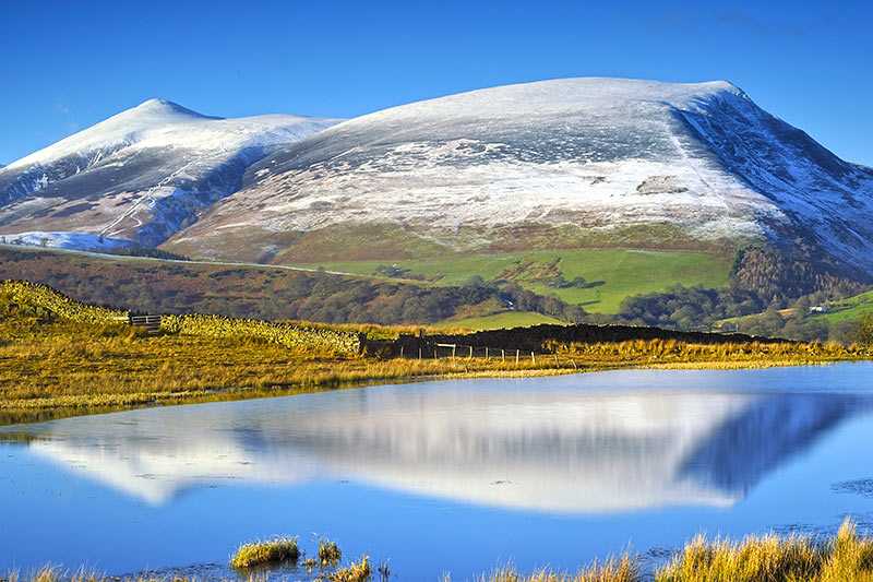
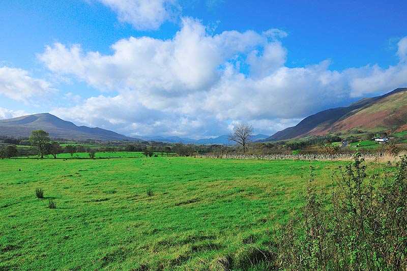
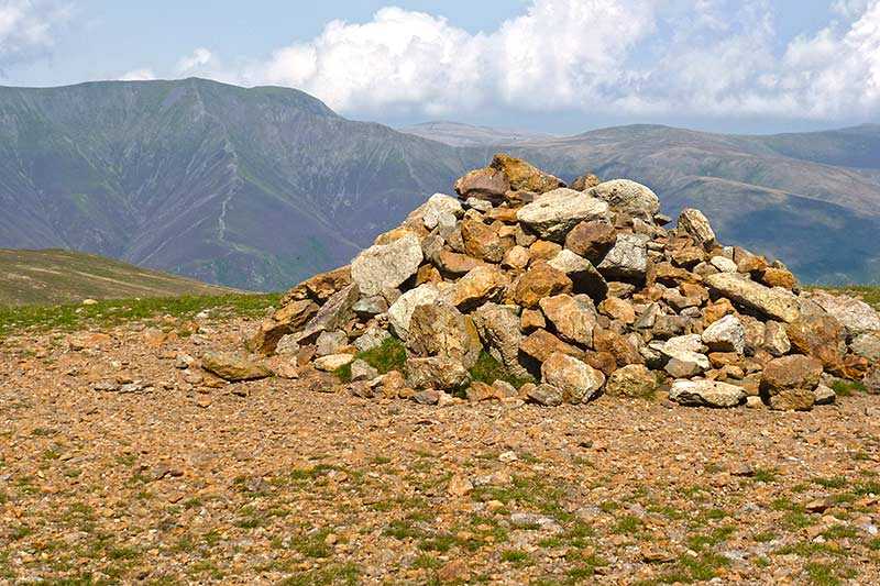
Using the roadside to the south side of the fell as a starting point or walking the 5 km (3 mi) ridge from Tewit Tarn to near Shoulthwaite extends the route. There is a panoramic view from the cairned summit, with highlights being Skiddaw and Blencathra to the north, with the Helvellyn range and Clough Head to the east.

