High Stile
About High Stile
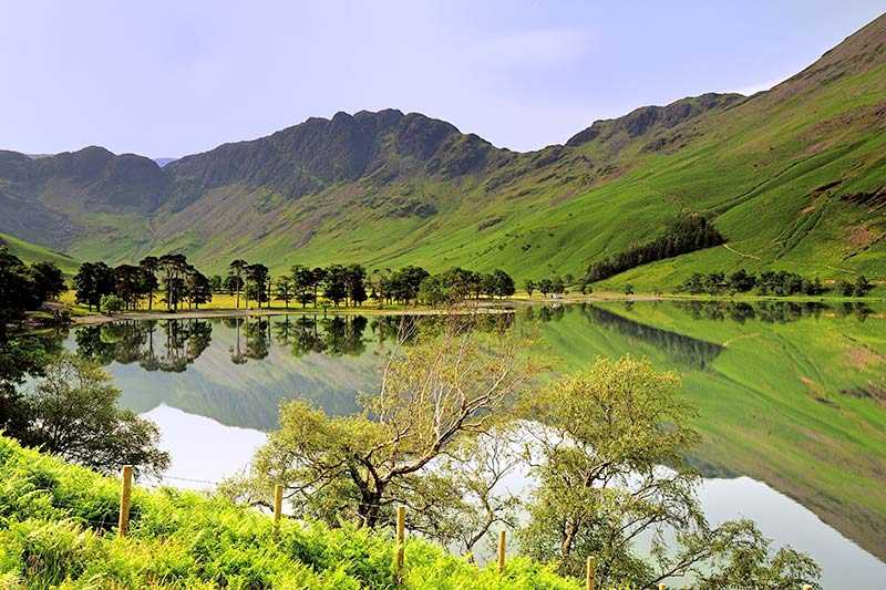
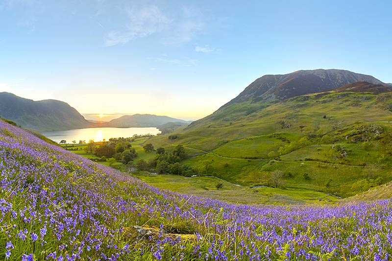
Lying in the area classified by Wainwright as the Western Fells, High Stile is the largest of the three mountains that overlook the lake and village of Buttermere. The oth...
About High Stile
Lying in the area classified by Wainwright as the Western Fells, High Stile is the largest of the three mountains that overlook the lake and village of Buttermere. The other two are Red Pike and High Crag. Consequently, the three are often walked together. High Stile is 807 m (2,648 ft) above sea level and has a prominence of 362 m (1,188 ft), and is additionally class...
Things to do near High Stile
Attractions near High Stile
Activities
About High Stile
About High Stile
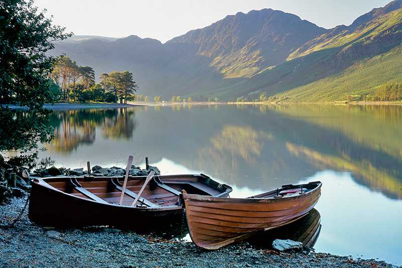
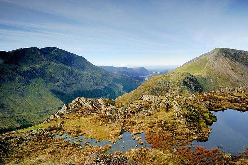
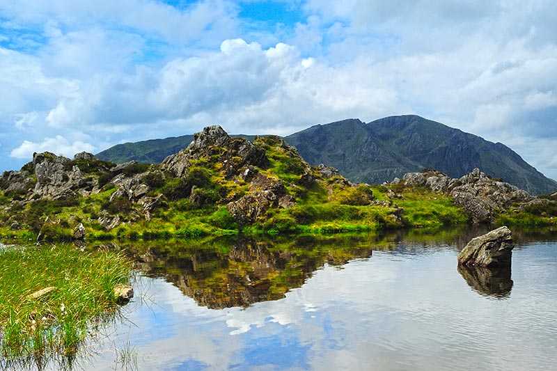
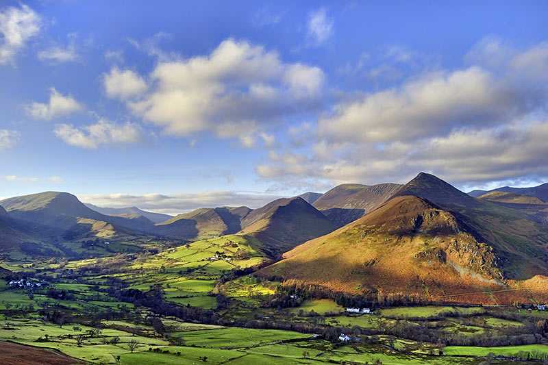
Lying in the area classified by Wainwright as the Western Fells, High Stile is the largest of the three mountains that overlook the lake and village of Buttermere. The other two are Red Pike and High Crag. Consequently, the three are often walked together. High Stile is 807 m (2,648 ft) above sea level and has a prominence of 362 m (1,188 ft), and is additionally classified as a Hewitt, a Nuttall and the eleventh highest English Marilyn. Its parent peak is Great Gable.
There are apparently two summits, both marked with cairns. The one recognised by Wainwright is on the main ridge and is known as High Stile, but that is in fact around a metre (3 ft) lower than the actual high spot, known as Grey Crag after the main face of the peak on which it stands. The best views are perhaps of the North Western Fells across the Buttermere Valley, particularly of Pillar and Scafell Pike, with a vista including the Solway and across to the Dumfries and Galloway mountains
Climbing High Stile
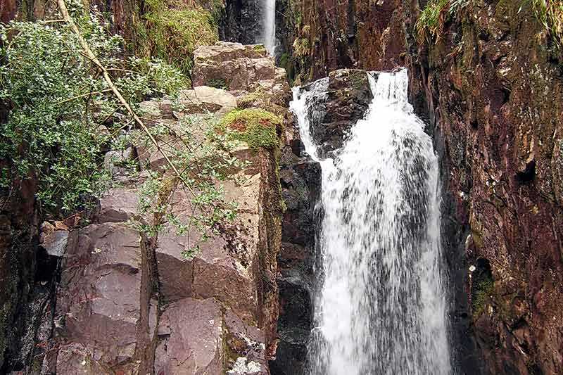
The sides of High Stile can be off-putting as they are very steep. Most climbers begin at Buttermere and walk via Scale Force and Red Pike before reaching High Stile; then traversing onto High Crag before descending a steep path on the return to Buttermere.
There is also a direct ascent from Ennerdale which passes through forest and bracken on steep slopes, although this is not found in most guidebooks. High Stile is also one of the fells climbed as part of Wainwright’s Coast to Coast Walk.
