Lingmell
About Lingmell
Lingmell lies within the Southern Fells and above Wasdale Head village. It is an outlier of Scafell Pike, emerging on its north-west flank, and because of its proximity to t...
About Lingmell
Lingmell lies within the Southern Fells and above Wasdale Head village. It is an outlier of Scafell Pike, emerging on its north-west flank, and because of its proximity to this and Great Gable peaks in particular, it is often overlooked by hikers. It stands at an elevation of 807 m (2,648 ft) above sea level and its prominence is around 72 m (236 ft) and is listed as a H...
Attractions near Lingmell
Activities
About Lingmell
About Lingmell
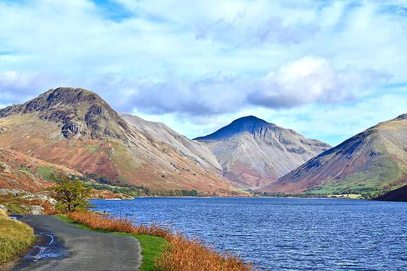
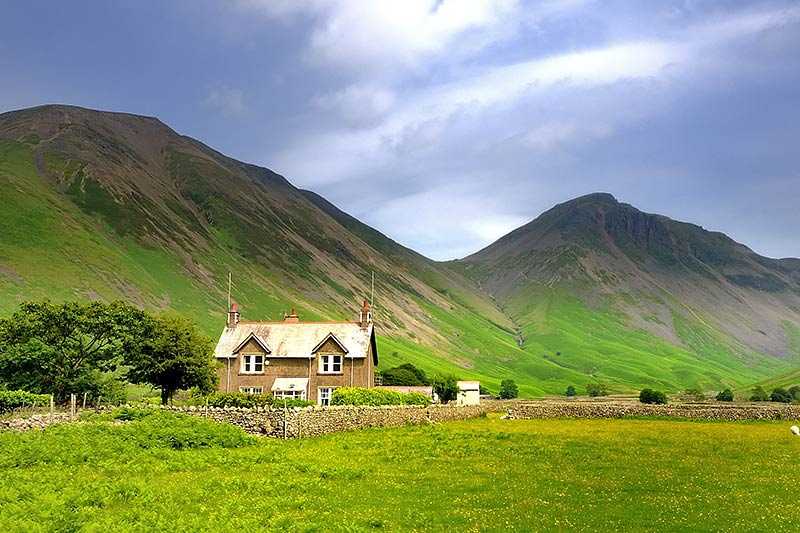
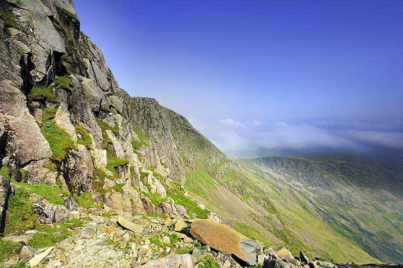
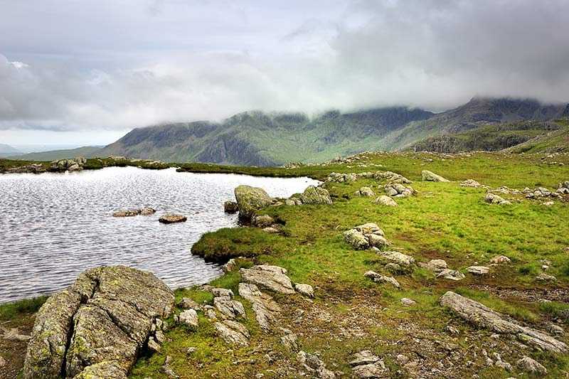
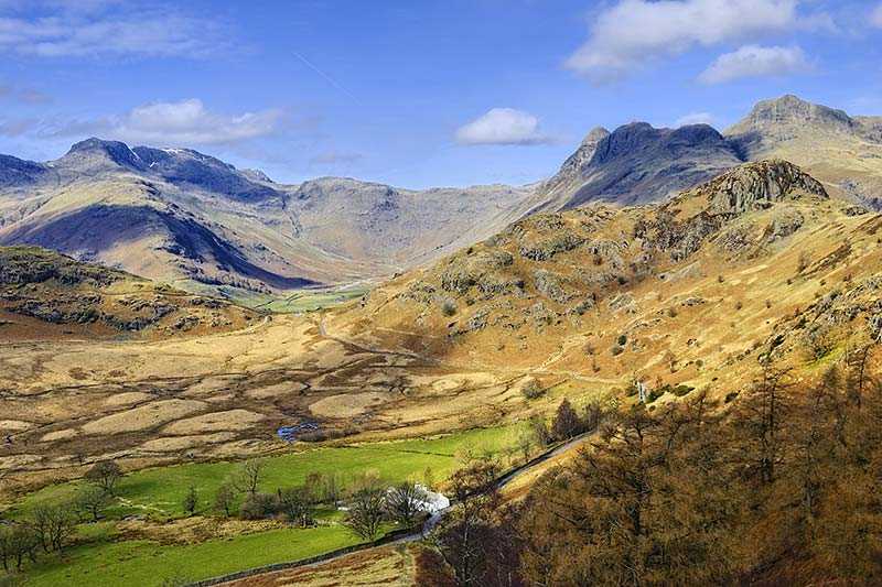
Lingmell lies within the Southern Fells and above Wasdale Head village. It is an outlier of Scafell Pike, emerging on its north-west flank, and because of its proximity to this and Great Gable peaks in particular, it is often overlooked by hikers. It stands at an elevation of 807 m (2,648 ft) above sea level and its prominence is around 72 m (236 ft) and is listed as a Hewitt and a Nuttall, as well as being one of Wainwright’s fells.
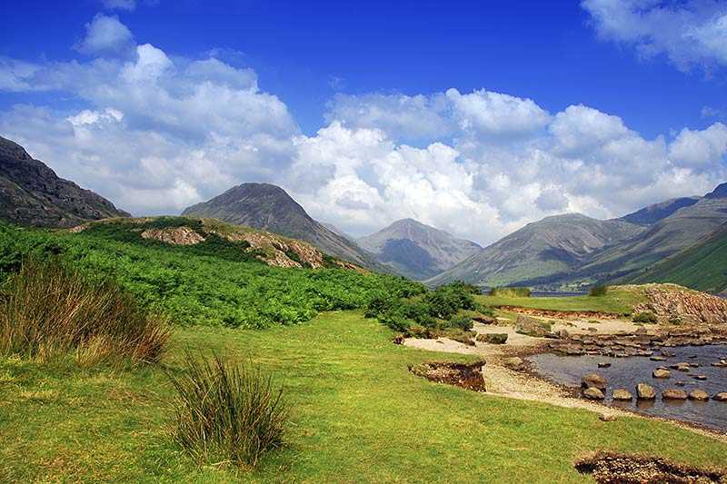
The summit lies directly above steep crags on the eastern side and a cairn stands at the highest point, from where there are impressive views of Wastwater, Great Gable and the Great Napes. The panorama of Lingmell along with Yewbarrow, Great Gable and the Scafells from the south western end of Wastwater has been voted as one of Britain’s favourite views.
Climbing Lingmell
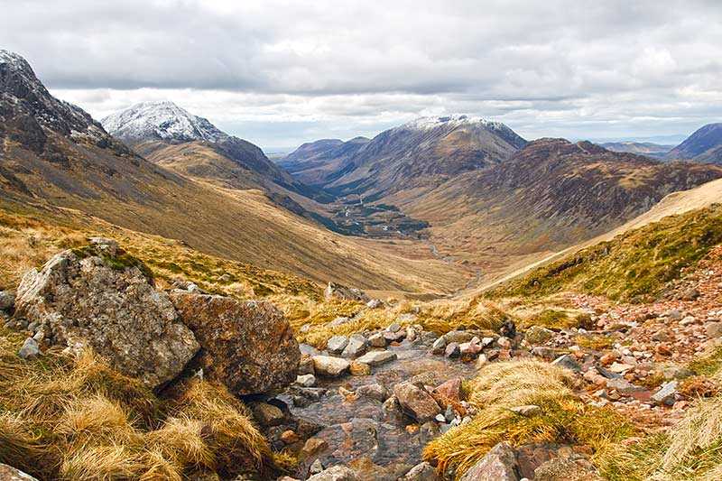
A good starting point for an ascent of Lingmell is Wasdale Head, walking via Piers Gill, a route which provides fantastic views of the Piers Gill ravine and Great Gable. Walking through the ravine itself is only recommended for experienced and hardy walkers. Wainwright also listed a route from Wasdale Head via Brown Tongue. A more challenging, longer day’s walking can be had if beginning and ending in Wasdale Head and ascending Lingmell, Great End and the Scafell Pikes.
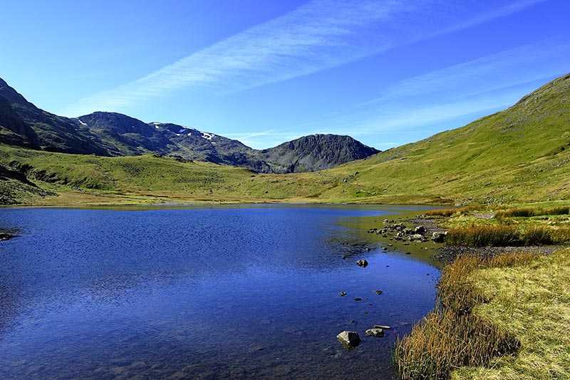
The Corridor Route, a section of path usually used on the route from Seathwaite in Borrowdale and Styhead Tarn to Scafell Pike, can also be taken for an ascent of Lingmell.
