Loadpot Hill
About Loadpot Hill
With an elevation above sea level of 672 m (2,205 ft) and a prominence of around 50 m (~164 ft), Loadpot Hill has what can be regarded a fairly modest height for a Lake...
About Loadpot Hill
With an elevation above sea level of 672 m (2,205 ft) and a prominence of around 50 m (~164 ft), Loadpot Hill has what can be regarded a fairly modest height for a Lake District Fell, but what it loses in height, it makes up for in expanse: with its descending ridges, in total it spans an area of 31 km2 (12 mi2) It was listed by Wainwright and is additionally classed...
Things to do near Loadpot Hill
Attractions near Loadpot Hill
Activities
About Loadpot Hill
About Loadpot Hill
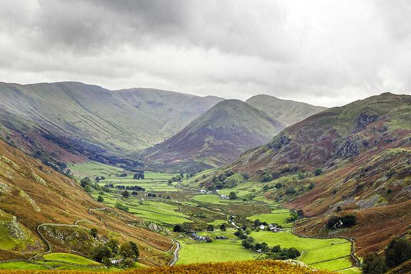
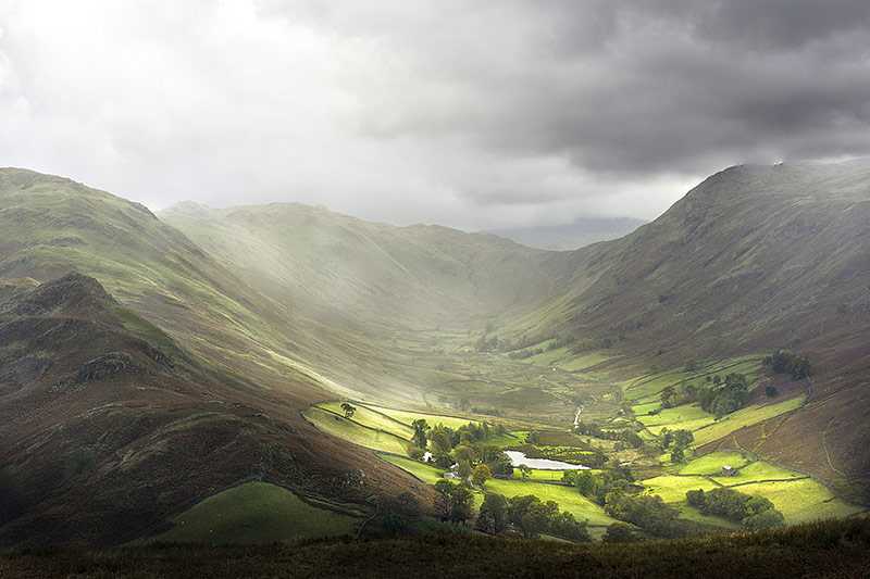
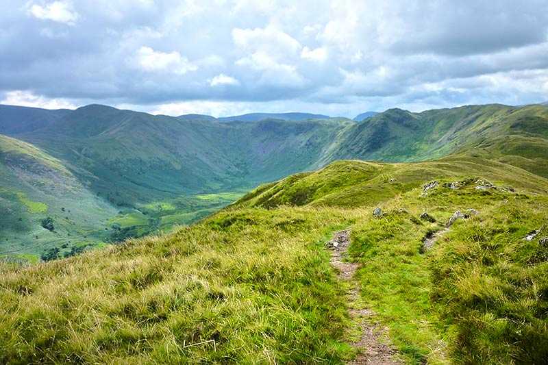
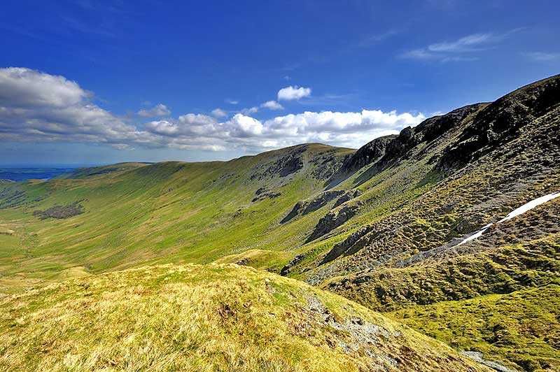
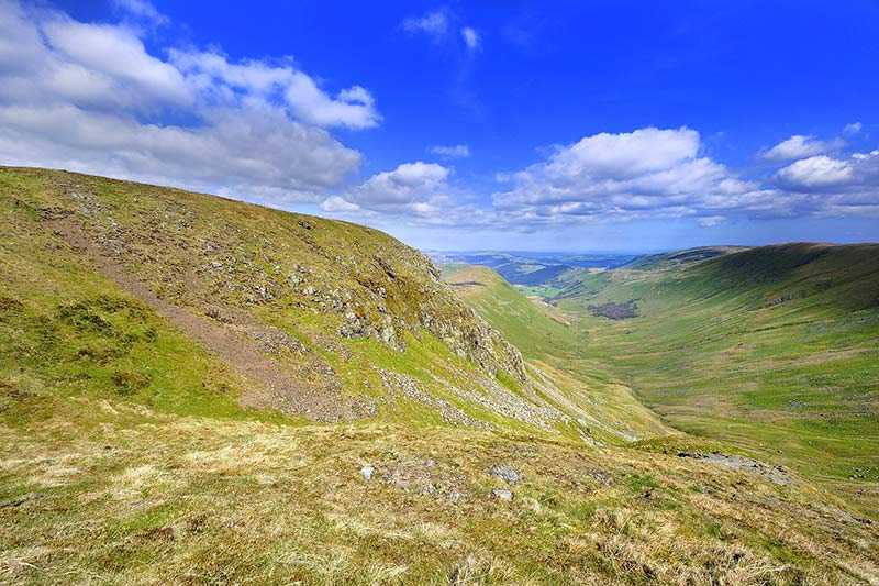
With an elevation above sea level of 672 m (2,205 ft) and a prominence of around 50 m (~164 ft), Loadpot Hill has what can be regarded a fairly modest height for a Lake District Fell, but what it loses in height, it makes up for in expanse: with its descending ridges, in total it spans an area of 31 km2 (12 mi2) It was listed by Wainwright and is additionally classed as a Hewitt and a Nuttall. Its parent peak is High Raise and it stands in the Far Eastern Fells on the very edges of the Lakeland area.
At the summit, a cairn built around an old boundary post and an Ordnance Survey triangulation column mark the highest point and within the summit area, there are also the remains of the chimney and foundations of Lowther House, an old shooting lodge. The High Street Roman road makes a detour around the west of the fell’s summit. Ascending to the top of Loadpot Hill will give an extensive panorama of the Lake District to the west, with the Pennines seen in the distance to the east.
Climbing Loadpot Hill
Loadpot Hill is fairly isolated in Lake District terms. However, the main ascents are usually from Bampton or Helton by means of the eastern ridge. It can also be ascended from Askham or Pooley Bridge via the north-east ridge. Also popular are ascents via Arthur’s Pike, which makes use in part at least of the old Roman road which crosses the area.
