Raise
Raise is one of Wainwright’s classified Eastern Fells and is one of the peaks making up the Helvellyn range. Its elevation is 883 m (2,897 ft) and its prominence around 88 m, earning it classificat...
Raise is one of Wainwright’s classified Eastern Fells and is one of the peaks making up the Helvellyn range. Its elevation is 883 m (2,897 ft) and its prominence around 88 m, earning it classification as a Hewitt, a Nuttall and a Birkett. Although it is the 12th highest peak in the Lake District, and the largest at the northern end of the Helvellyn chain, it is often overlooked in favour of the...
Things to do near Raise
Attractions near Raise
Activities
About Raise
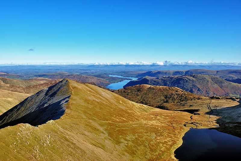
Raise is one of Wainwright’s classified Eastern Fells and is one of the peaks making up the Helvellyn range. Its elevation is 883 m (2,897 ft) and its prominence around 88 m, earning it classification as a Hewitt, a Nuttall and a Birkett. Although it is the 12th highest peak in the Lake District, and the largest at the northern end of the Helvellyn chain, it is often overlooked in favour of the area’s more famous mountains and so can make for a quieter climb.
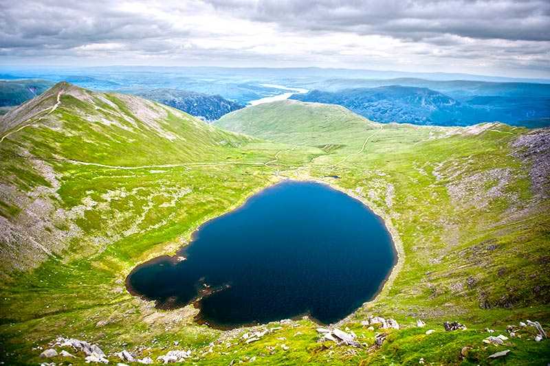
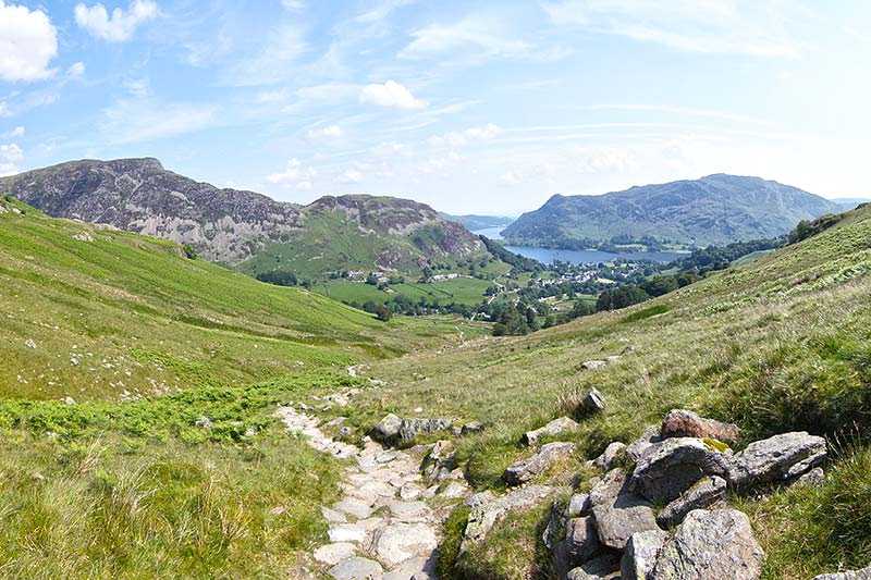
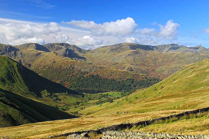
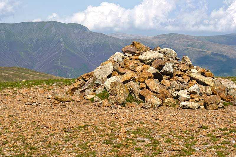
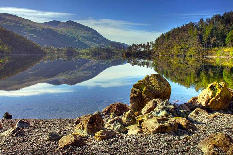
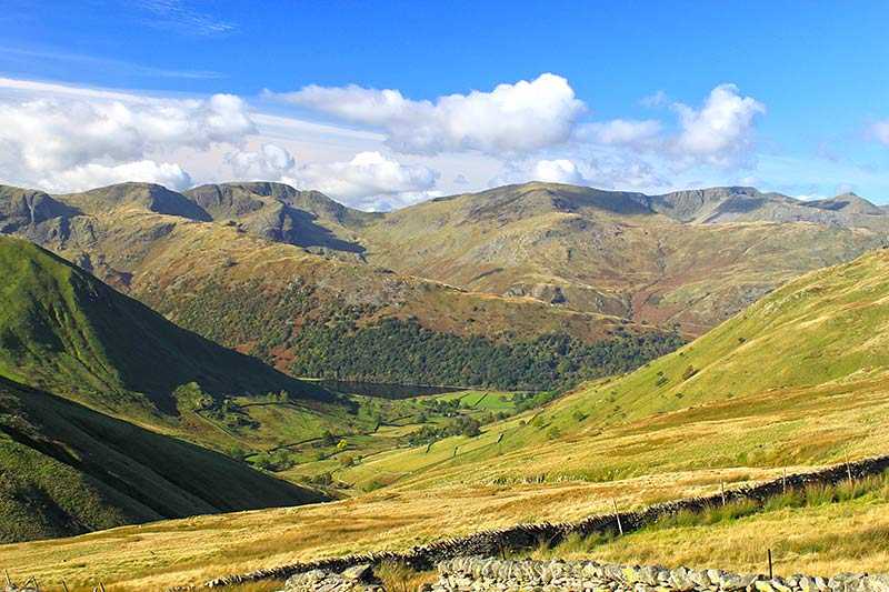
Raise is the only one of the northern Helvellyn peaks to feature a summit of outcropping rock – the remainder are grassy. There is a path along its ridge and a number of cairns to the south. Views from its rocky summit are superb - from here all the major fells can be seen, as well as Thirlmere reservoir.
Climbing Raise
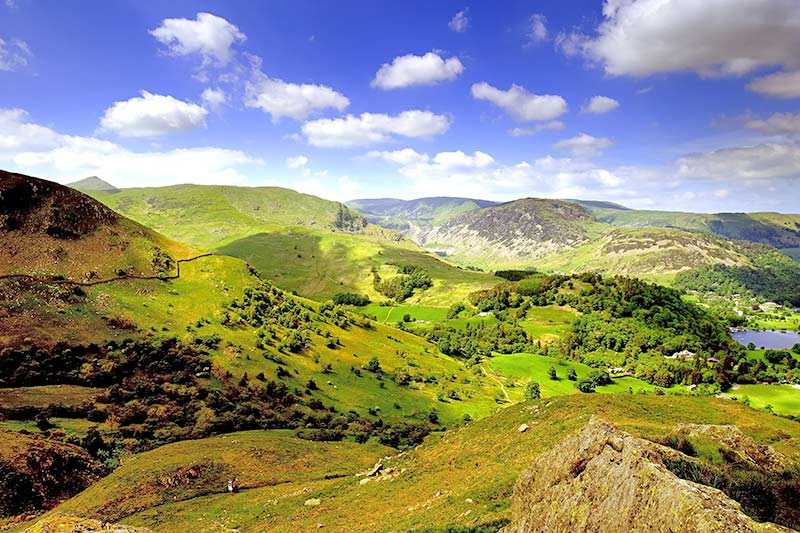
The direct route to Raise is usually from Glenridding or Legburthwaite via Sticks Pass, the highest pass in the Lake District at 745 m (2,445 ft) and the only viable pedestrian route between Thirlmere and Ullswater. From the west, there is a more direct route along Fisher Place Gill (which has a superb series of waterfalls) and southwards onto Raise.
Winter Sports on Raise
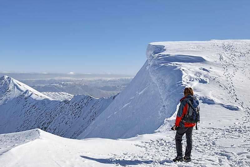
The Lake District’s only permanent ski lift is on the northern face of Raise. Because of its position, the mountain retains snow for a long time on its north face and therefore is popular with skiers, snowboarders and other winter sports enthusiasts. The lift is over 300 m long and there is a natural snow bowl, Savages Gulley, where snow drifts form.
