Rampsgill Head
Rampsgill Head Facts
Elevation: 792 m (2,598 ft)
Mountain Range: Far Eastern Fells
OS Grid: NY443128
About Rampsgill He...
Rampsgill Head Facts
Elevation: 792 m (2,598 ft)
Mountain Range: Far Eastern Fells
OS Grid: NY443128
About Rampsgill Head
Rampsgill Head is a satellite of High Raise and was classified in its own right by Wainwright as one of the Far Eastern Fells, although some argue that it is just an area of raised ground b...
Attractions near Rampsgill Head
Activities
About Rampsgill Head
Rampsgill Head Facts
Elevation: 792 m (2,598 ft)
Mountain Range: Far Eastern Fells
OS Grid: NY443128
About Rampsgill Head
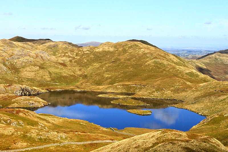
Rampsgill Head is a satellite of High Raise and was classified in its own right by Wainwright as one of the Far Eastern Fells, although some argue that it is just an area of raised ground between The Knott, Kidsty Pike and High Raise. Nonetheless, its elevation is 792 m (2,598 ft) and its prominence around 40 m (131 ft). It is therefore also classed as a Birkett, a Hewitt and a Nuttall.
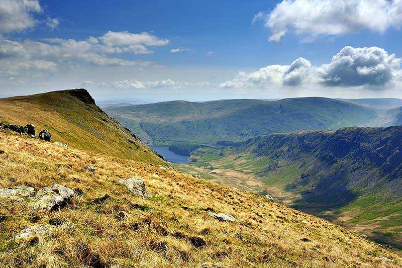
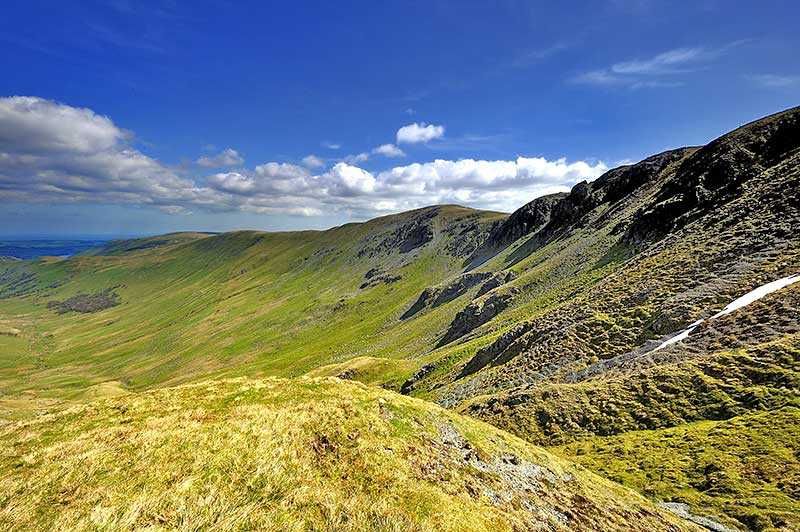
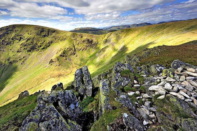
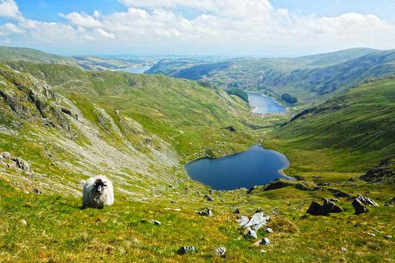
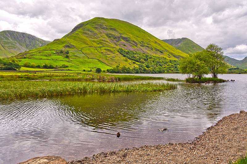
Standing just to the west of Haweswater Reservoir and north of High Street, its summit is grassy with small areas of outcrop rock. A cairn marks the top. Superb views down the valleys to the west include the Helvellyns, Ullswater and Brothers Water, while to the east, you can see Haweswater Reservoir itself and the Pennines beyond. The Roman road passes just south of the summit and onto High Street.
Climbing Rampsgill Head
The Roman road, High Street, traverses the fell to the south east of the summit, en route from High Street to High Raise. Rampsgill Head is surrounded by other Wainwright’s fells, so is often used as a stepping stone to other fells. Any ascent usually sees walkers taking in a number of peaks on the way – common starting points are Patterdale, Hartsop and Mardale Head.
A recommended walk begins at St Peter’s Church in Martindale, taking in Loadpot Hill, Wether Hill, High Raise, Kidsty Pike and Rampsgill Head, before visiting The Knott, Rest Dodd and The Nab on the return to Martindale.
