Whiteless Pike
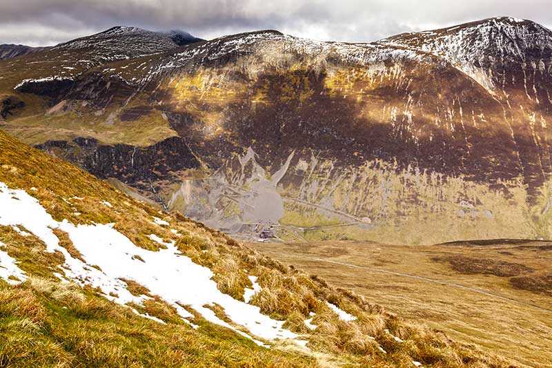
Whiteless Pike is located in the North Western Fells and is a satellite of Crag Hill. It stands directly to the east of Crummock Water overlooking the Buttermere Valley at an elevation of 660 m (2,...
Whiteless Pike is located in the North Western Fells and is a satellite of Crag Hill. It stands directly to the east of Crummock Water overlooking the Buttermere Valley at an elevation of 660 m (2,170 ft) and has a prominence of around 35 m (115 ft). It is variously listed as a Wainwright, a Hewitt and a Nuttall. When seen from Rannerdale, it looks to be a near-perfect pyramid shape, leading Wa...
Attractions near Whiteless Pike
Activities
About Whiteless Pike
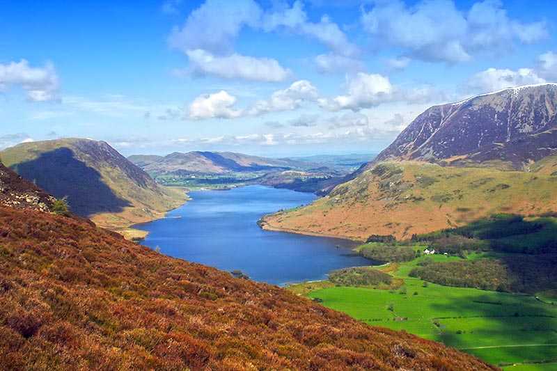
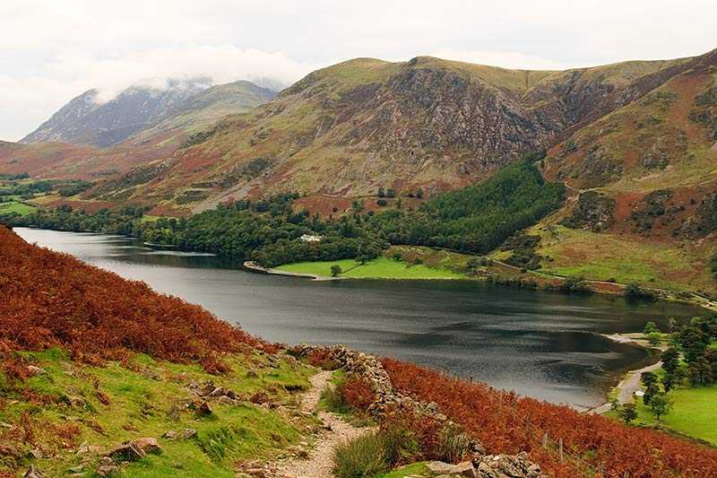
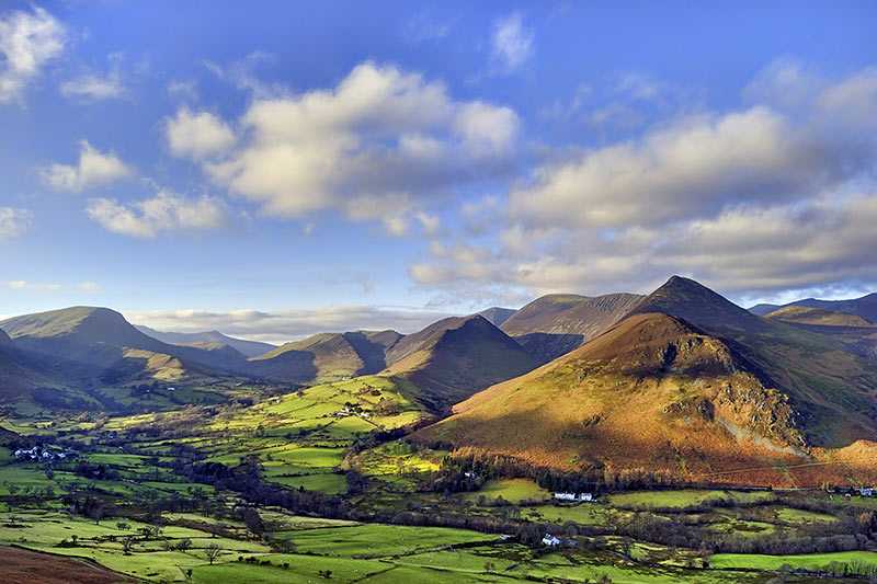
Whiteless Pike is located in the North Western Fells and is a satellite of Crag Hill. It stands directly to the east of Crummock Water overlooking the Buttermere Valley at an elevation of 660 m (2,170 ft) and has a prominence of around 35 m (115 ft). It is variously listed as a Wainwright, a Hewitt and a Nuttall. When seen from Rannerdale, it looks to be a near-perfect pyramid shape, leading Wainwright to call it ‘the Weisshorn of Buttermere’.
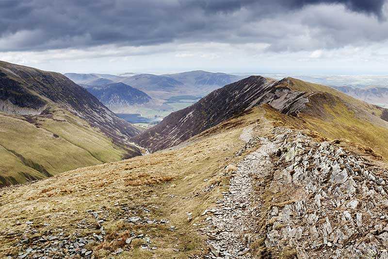
The small, peaked summit bears a cairn and is otherwise strewn with loose stones. There are pleasing views of Great Gable and the Scafells from here, with the Helvellyn range and the Western fells also seen and Buttermere, Crummock Water and Loweswater below.
Climbing Whiteless Pike
The fell is commonly climbed from Buttermere, ascending the valley of Mill Beck and then a path up Whiteless Breast and onto the ridge. It can also be approached from the shores of Crummock Water, by way of the quiet valley of Rannerdale. It is often included at the beginning of a walk that takes in the higher peaks of Wandope, Grasmoor and Eel Crag.

