Blea Rigg
Blea Rigg lies between the valleys of Easedale and Great Langdale at an elevation of 541m (1,775 ft). It has a prominence of around 11 m (36 ft) and is one of Wainwright's 214 listed fells. Its par...
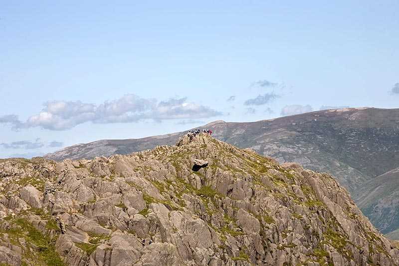
Blea Rigg lies between the valleys of Easedale and Great Langdale at an elevation of 541m (1,775 ft). It has a prominence of around 11 m (36 ft) and is one of Wainwright's 214 listed fells. Its parent peak is Harrison Stickle. It is hard to find the actual highest point amid the numerous rocky outcrops in the summit area, but it is widely agreed to be the one marked by a cairn situated above a...
Attractions near Blea Rigg
Activities
About Blea Rigg
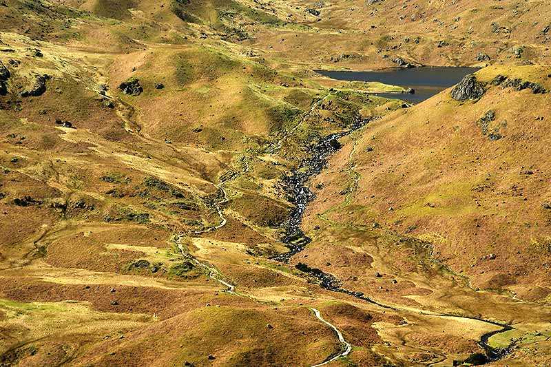
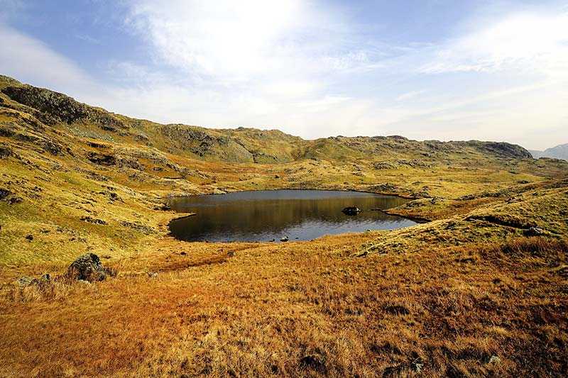
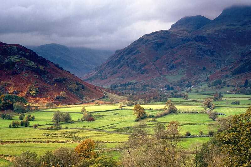
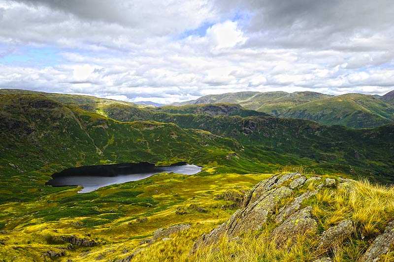
Blea Rigg lies between the valleys of Easedale and Great Langdale at an elevation of 541m (1,775 ft). It has a prominence of around 11 m (36 ft) and is one of Wainwright's 214 listed fells. Its parent peak is Harrison Stickle. It is hard to find the actual highest point amid the numerous rocky outcrops in the summit area, but it is widely agreed to be the one marked by a cairn situated above a stone shelter. Views are of the Langdale Pikes nearby with the eastern and southern fells beyond. Ascents begin from Grasmere or Great Langdale, although it's worth being aware that paths are often poorly marked and hard to follow.
