Bleaberry Tarn
About Bleaberry Tarn
Bleaberry Tarn is a natural tarn lying to the south-west of Buttermere Lake, nestled in a corrie below Red Pike and High Stile in the Western Fells. It stands at an el...
About Bleaberry Tarn
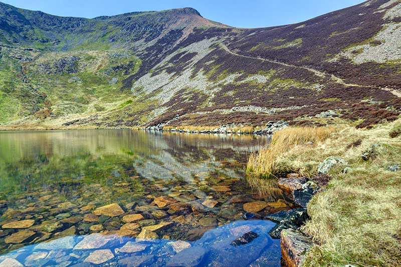
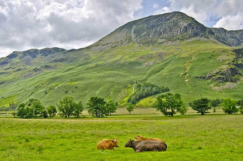
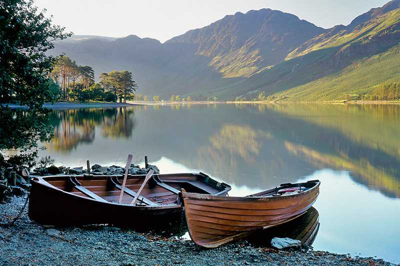
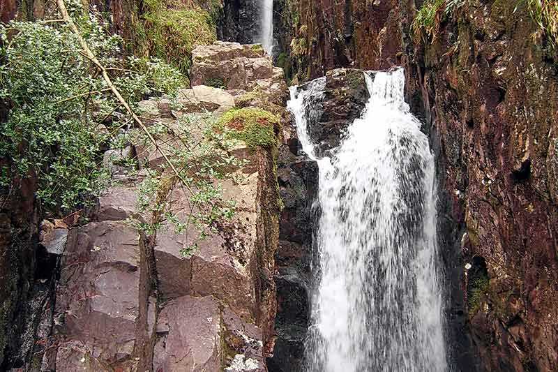
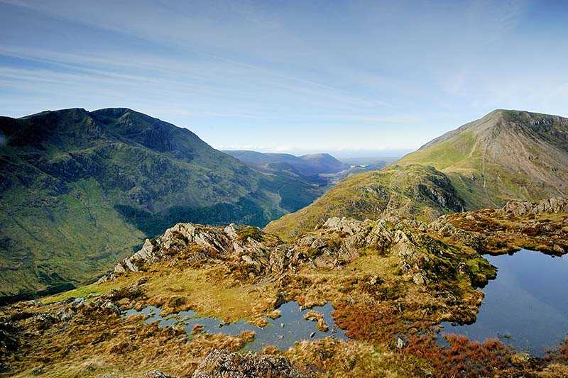
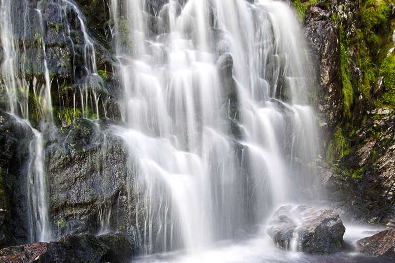
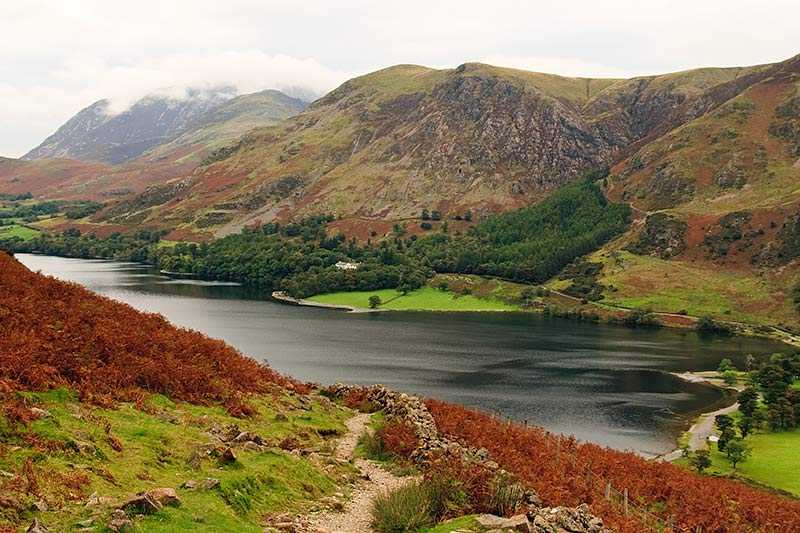
Bleaberry Tarn is a natural tarn lying to the south-west of Buttermere Lake, nestled in a corrie below Red Pike and High Stile in the Western Fells. It stands at an elevation of 497 m (1,631 ft) and its approximate depth is 5 m (16 ft). Its outflow, named Sour Milk Gill, descends from the tarn before entering Buttermere Lake.
The tarn is roughly a tear-drop...
Things to do near Bleaberry Tarn
Rock Climbing in Keswick
Canoe on Derwent Water
Climb in the Mine
Canoe River Trip
Paddle Board Session from Keswick - School Holiday Deal
Paddle Boarding on Derwent Water
Ghyll Scrambling Water Adventure in the Lake District
Ultimate Full-Day Lake District Tour: 10 Lakes, Amazing Scenery & Lake Cruise
Private Sail and Dine Experience on Lake Windermere
8 Lakes in a Morning
Private Yorkshire Dales from Windermere in a 16 seater Mercedes
Private Sailing Experience on Lake Windermere
Lake District Walking Tour
4-Hour Private Lake Tours by 4x4
Private Sailing Experience on Lake Windermere
Ultimate Full-Day Lake District Tour: 10 Lakes, Amazing Scenery & Lake Cruise
Ultimate Full-Day Lake District Tour: 10 Lakes, Amazing Scenery & Lake Cruise
Private Family Bird of Prey Experience in Carlisle
Coniston Water Wild Cat Island Cruise Yellow Route
Attractions near Bleaberry Tarn
Activities
About Bleaberry Tarn
About Bleaberry Tarn
Bleaberry Tarn is a natural tarn lying to the south-west of Buttermere Lake, nestled in a corrie below Red Pike and High Stile in the Western Fells. It stands at an elevation of 497 m (1,631 ft) and its approximate depth is 5 m (16 ft). Its outflow, named Sour Milk Gill, descends from the tarn before entering Buttermere Lake.
The tarn is roughly a tear-drop shape and is surrounded by gentle heather-covered slopes on all sides. Bleaberry Tarn is frequently visited by walkers en route to Red Pike - a popular path runs alongside it and up to the summit, meaning the area is often busy.
