Coledale Valley
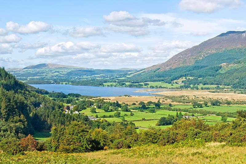
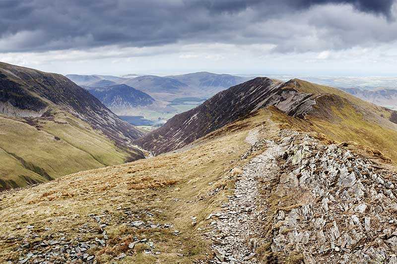
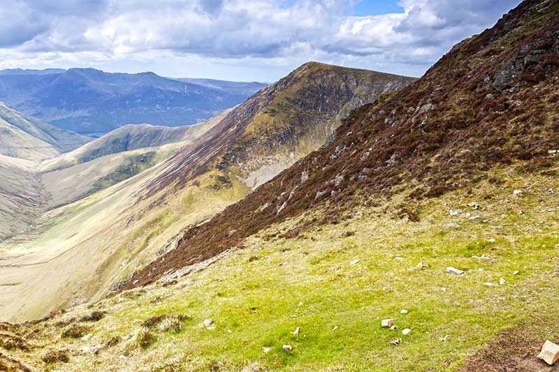
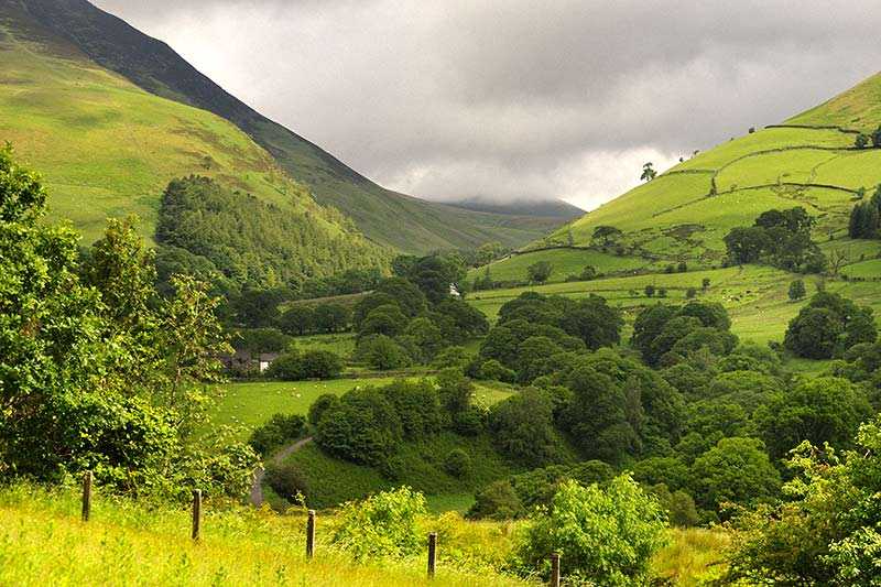
Coledale Valley is a narrow u-shaped valley located in the north part of the Lake District, in Cumbria, England. It runs north east toward the Derwent Valley foodplain and the village of Braithwait...
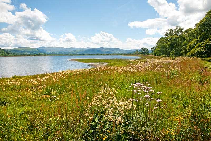
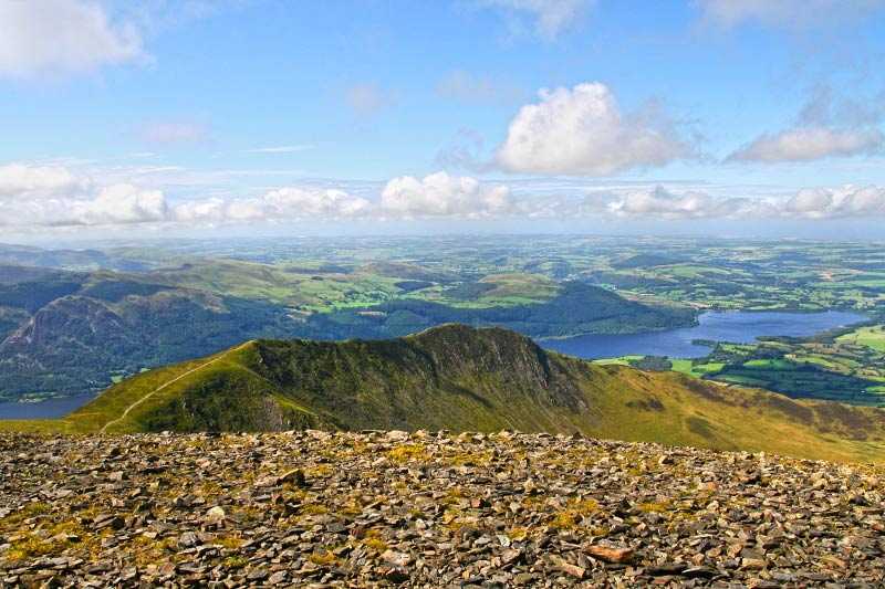
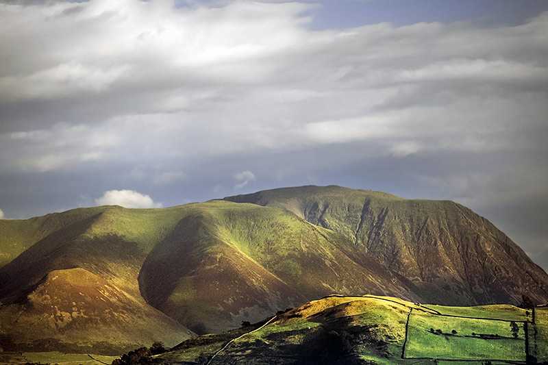
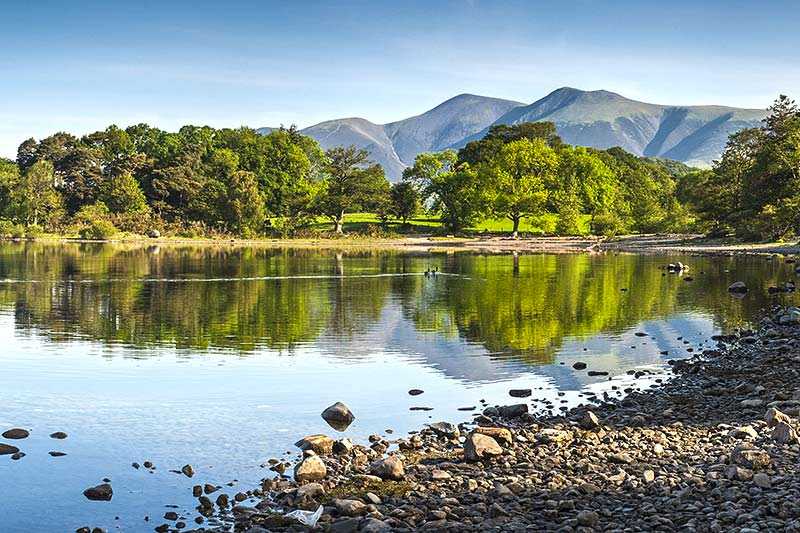
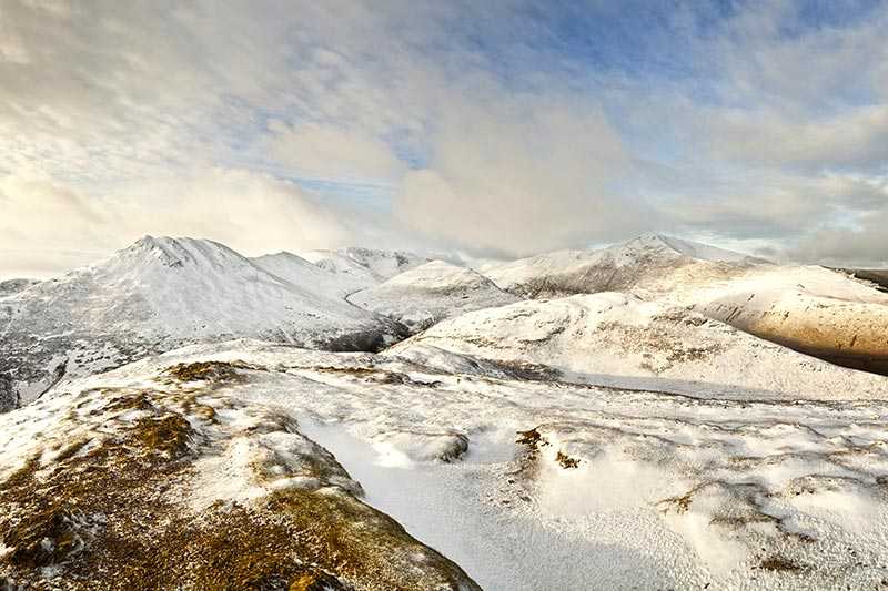
Coledale Valley is a narrow u-shaped valley located in the north part of the Lake District, in Cumbria, England. It runs north east toward the Derwent Valley foodplain and the village of Braithwaite. At the top of it a big rock formation can be found, named Force Crag. It is enclosed by ridges, popular with visitors. Some of the peaks are Grisedale Pike, Coledale Hause, Crag Hill, Hopegill Head...
Things to do near Coledale Valley
Rock Climbing in Keswick
Canoe on Derwent Water
Climb in the Mine
Canoe River Trip
Paddle Boarding on Derwent Water
Ghyll Scrambling Water Adventure in the Lake District
Ultimate Full-Day Lake District Tour: 10 Lakes, Amazing Scenery & Lake Cruise
Kayak on Derwent Water
Private Family Bird of Prey Experience in Carlisle
Private Sail and Dine Experience on Lake Windermere
Private Yorkshire Dales from Windermere in a 16 seater Mercedes
8 Lakes in a Morning
Private Sailing Experience on Lake Windermere
Lake District Walking Tour
4-Hour Private Lake Tours by 4x4
Private Sailing Experience on Lake Windermere
Ultimate Full-Day Lake District Tour: 10 Lakes, Amazing Scenery & Lake Cruise
Ultimate Full-Day Lake District Tour: 10 Lakes, Amazing Scenery & Lake Cruise
Attractions near Coledale Valley
Activities
About Coledale Valley
Coledale Valley is a narrow u-shaped valley located in the north part of the Lake District, in Cumbria, England. It runs north east toward the Derwent Valley foodplain and the village of Braithwaite. At the top of it a big rock formation can be found, named Force Crag. It is enclosed by ridges, popular with visitors. Some of the peaks are Grisedale Pike, Coledale Hause, Crag Hill, Hopegill Head. The most significant characterist is definitely Force Crag Mine, which in the Second World War was used for making munitions, by extracting barites.
