Grisedale Pike
About Grisedale Pike
Grisedale Pike is a satellite of Grasmoor and located to the west of Keswick. Standing at an elevation of 791 m (2,595 ft), and with a prominence of around 189 m (620...
About Grisedale Pike
Grisedale Pike is a satellite of Grasmoor and located to the west of Keswick. Standing at an elevation of 791 m (2,595 ft), and with a prominence of around 189 m (620 ft), it is classified as a Marilyn, a Hewitt, a Nuttall and a Wainwright. It is situated within the North Western Fells and has a distinctive pyramid shape, which is particularly striking when viewed...
Attractions near Grisedale Pike
Activities
About Grisedale Pike
About Grisedale Pike
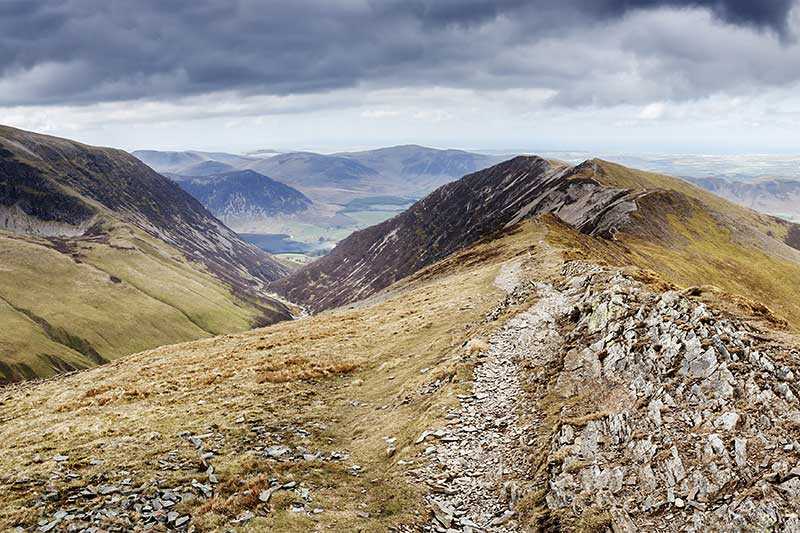
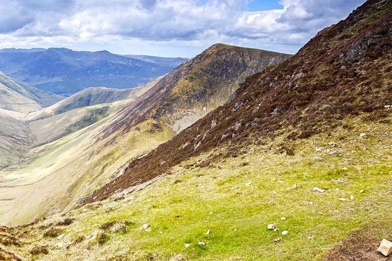
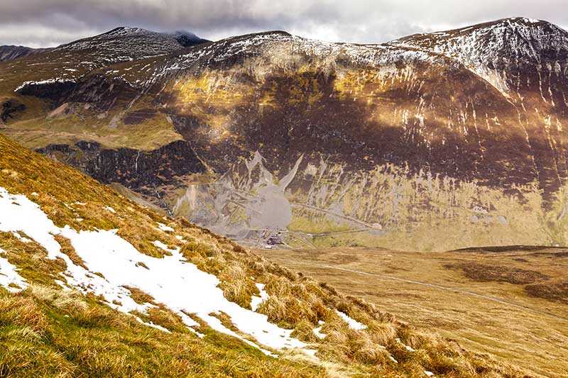
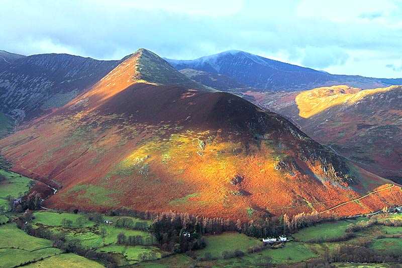
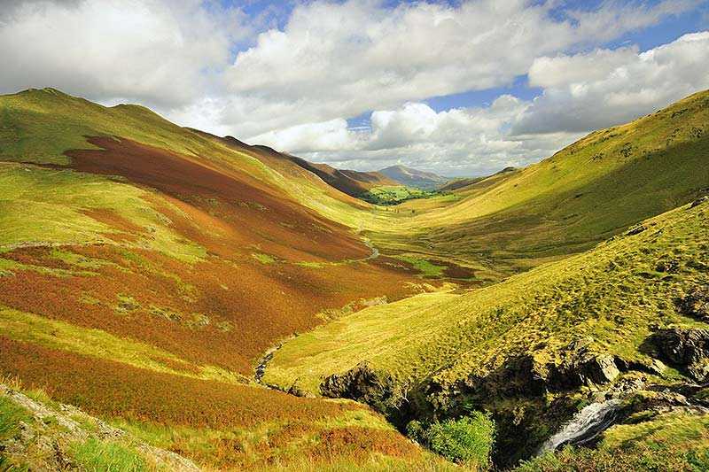
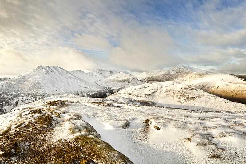
Grisedale Pike is a satellite of Grasmoor and located to the west of Keswick. Standing at an elevation of 791 m (2,595 ft), and with a prominence of around 189 m (620 ft), it is classified as a Marilyn, a Hewitt, a Nuttall and a Wainwright. It is situated within the North Western Fells and has a distinctive pyramid shape, which is particularly striking when viewed from the east.
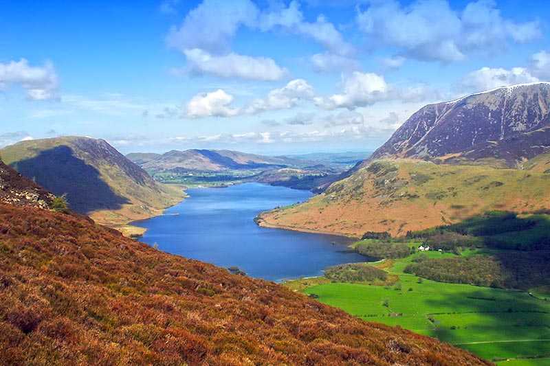
The summit is made up of slate fragments and topped with a cairn, from where there are pleasing views of Keswick and Derwentwater, the Helvellyn range and the Newlands Valley fells. There are also two subsidiary summits: Hobcarton End and an unnamed one above Hobcarton Crag, sometimes referred to by that name.
Climbing Grisedale Pike
Most ascents begin from the village of Braithwaite up a well-trodden path on the eastern ridge, which Wainwright described as ‘a long and relentless fight against gravity’. An alternative route begins at the car park in Hospital Plantation near the top of Whinlatter Pass and traverses the northern ridge via Hobcarton End before ascending to the summit.
It is often ascended as part of the Coledale Round, a circular walk beginning and ending at the village of Braithwaite. This day-long walk begins with Grisedale Pike and then moves onto Hopegill Head, Eel Crag and Sail, before taking in either Outerside and Barrow or Scars Crag and Causey Pike and then returning to Braithwaite.
