Great Rigg
About Great Rigg
Great Rigg stands in the Eastern Fells at an elevation of 766 m (2,513 ft) above sea level and has a prominence of 31 m (102 ft). The term ‘rigg’ in its name means bumpy o...
About Great Rigg
Great Rigg stands in the Eastern Fells at an elevation of 766 m (2,513 ft) above sea level and has a prominence of 31 m (102 ft). The term ‘rigg’ in its name means bumpy or knobbly ridge and it is a satellite of Fairfield, technically no more than a ripple on that fell’s southern ridge, but its prominence earns it a listing in its own right and it is classified as a He...
Attractions near Great Rigg
Activities
About Great Rigg
About Great Rigg
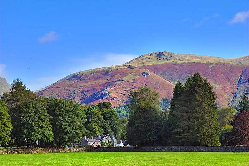
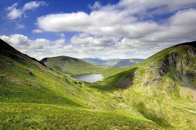
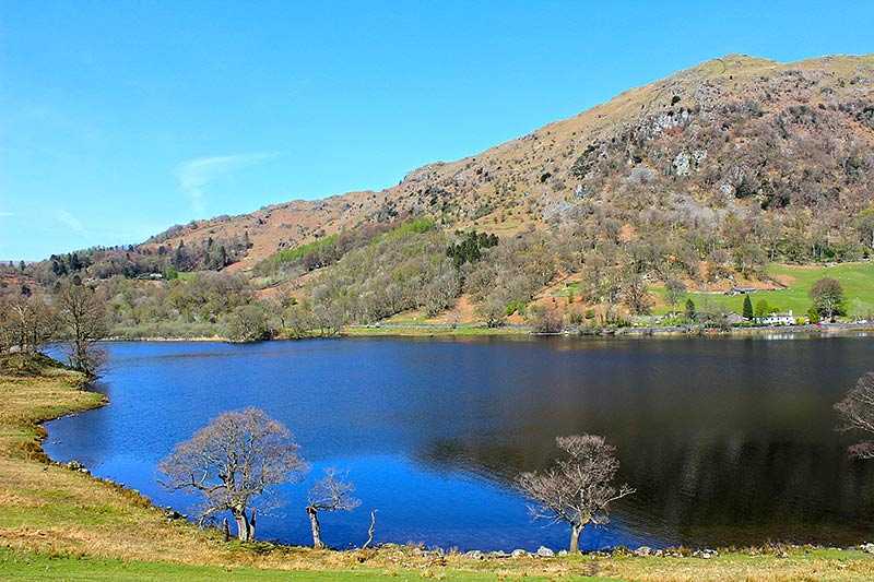
Great Rigg stands in the Eastern Fells at an elevation of 766 m (2,513 ft) above sea level and has a prominence of 31 m (102 ft). The term ‘rigg’ in its name means bumpy or knobbly ridge and it is a satellite of Fairfield, technically no more than a ripple on that fell’s southern ridge, but its prominence earns it a listing in its own right and it is classified as a Hewitt, a Nuttall and a Wainwright.
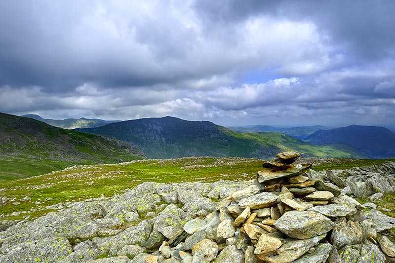
The cairn on the summit is fairly substantial, perhaps because of the volume of walkers who ascend it. It is so significant that it is even named on maps as Greatrigg Man. From the summit, a large number of lakes are visible, with ten of the Lake District’s major bodies of water in view. There are also pleasing views of the Lakeland mountains to the west, notably the Scafells and the Coniston range.
Climbing Great Rigg
Great Rigg is very rarely ascended in its own right. It is most commonly climbed en route to Fairfield, which is close by to the north, or as part of the Fairfield Horseshoe, a 16 km circular walk that begins and ends in Ambleside.
An alternative approach to the summit can be made via Grasmere, by way of Stone Arthur, a rocky tor halfway up Great Rigg’s south western ridge which was given the status of a separate fell by Wainwright.

