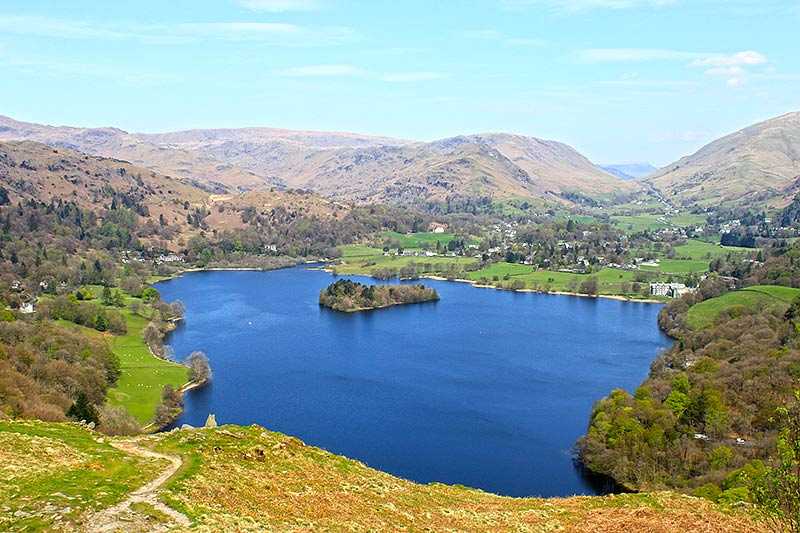
Grisedale Tarn
About Grisedale Tarn
Grisedale Tarn lies to the east of Dunmail Raise, between Fairfield and Dollywaggon Pike, at an elevation of 538 m (1,765 ft). It is fairly large in terms of Lakeland...
About Grisedale Tarn
Grisedale Tarn lies to the east of Dunmail Raise, between Fairfield and Dollywaggon Pike, at an elevation of 538 m (1,765 ft). It is fairly large in terms of Lakeland tarns and is approximately 34 m/ 112 ft in depth. Numerous paths meet here as walkers make their way to Helvellyn, St Sunday Crag and Fairfield, and it is a popular resting place on the Fairfield Hors...
Attractions near Grisedale Tarn
Activities
About Grisedale Tarn
About Grisedale Tarn
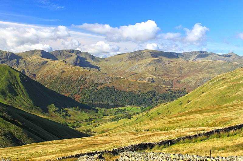
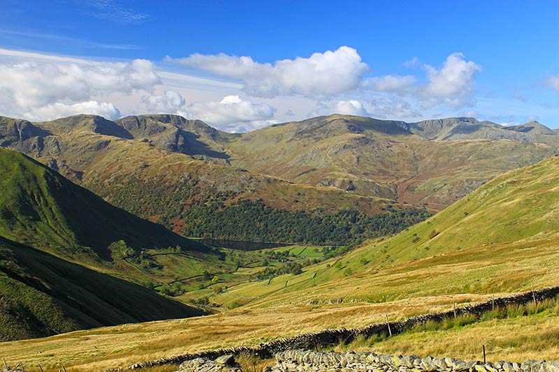
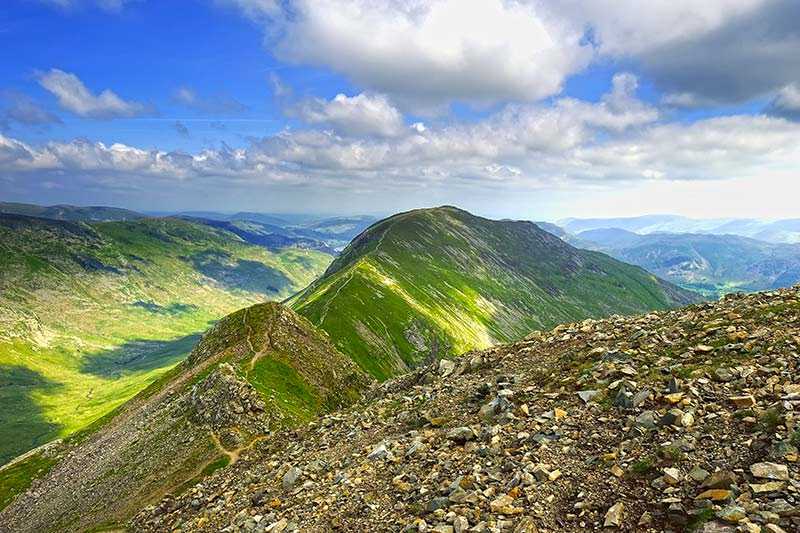
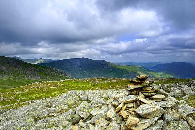
Grisedale Tarn lies to the east of Dunmail Raise, between Fairfield and Dollywaggon Pike, at an elevation of 538 m (1,765 ft). It is fairly large in terms of Lakeland tarns and is approximately 34 m/ 112 ft in depth. Numerous paths meet here as walkers make their way to Helvellyn, St Sunday Crag and Fairfield, and it is a popular resting place on the Fairfield Horseshoe. Fishing for brown trout, perch and eel is permitted. Legend has it that the last king of Cumbria, King Dunmail, was killed in battle at Dunmail Raise and while his body was buried at the top of the pass, his crown was thrown into the waters of Grisedale Tarn by his surviving men.
