Harter Fell (Mardale)
About Harter Fell (Mardale)
Harter Fell stands at an elevation of 778 m (2,552 ft) above sea level with a prominence of 149 m (489 ft). It is a satellite of High Street and is listed as a...
About Harter Fell (Mardale)
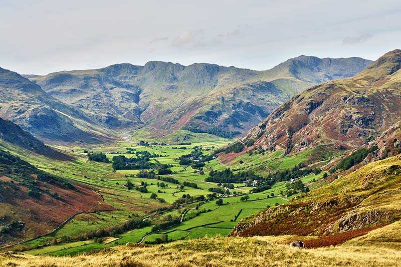
Harter Fell stands at an elevation of 778 m (2,552 ft) above sea level with a prominence of 149 m (489 ft). It is a satellite of High Street and is listed as a Hewitt, a Wainwright and a Nuttall in its own right. Situated in the Far Eastern Fells, it forms the head of three valleys: Mardale, Longsleddale and the valley through which the River Kent runs.
...Things to do near Harter Fell (Mardale)
Attractions near Harter Fell (Mardale)
Activities
About Harter Fell (Mardale)
About Harter Fell (Mardale)
Harter Fell stands at an elevation of 778 m (2,552 ft) above sea level with a prominence of 149 m (489 ft). It is a satellite of High Street and is listed as a Hewitt, a Wainwright and a Nuttall in its own right. Situated in the Far Eastern Fells, it forms the head of three valleys: Mardale, Longsleddale and the valley through which the River Kent runs.
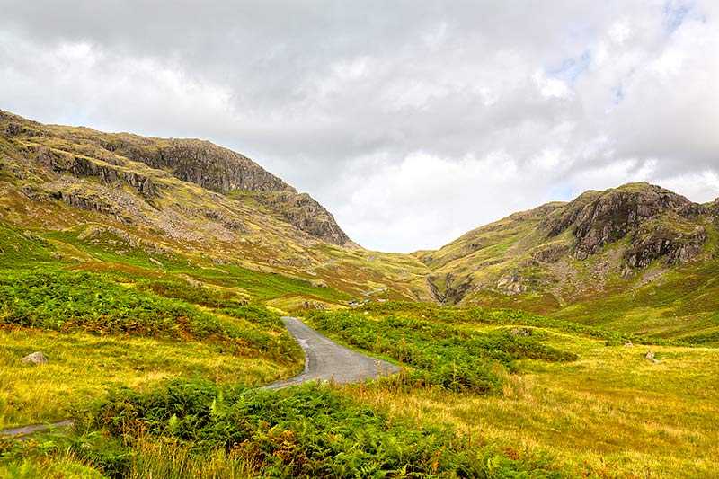
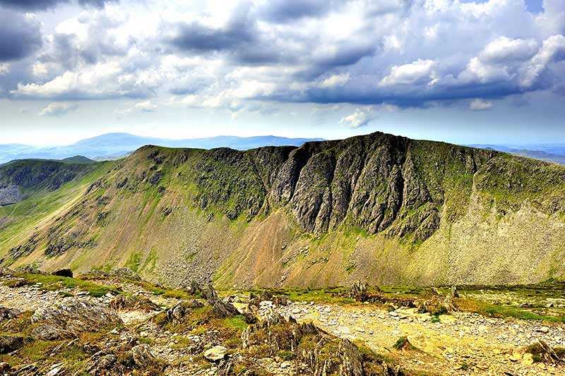
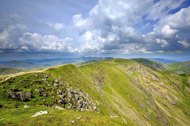
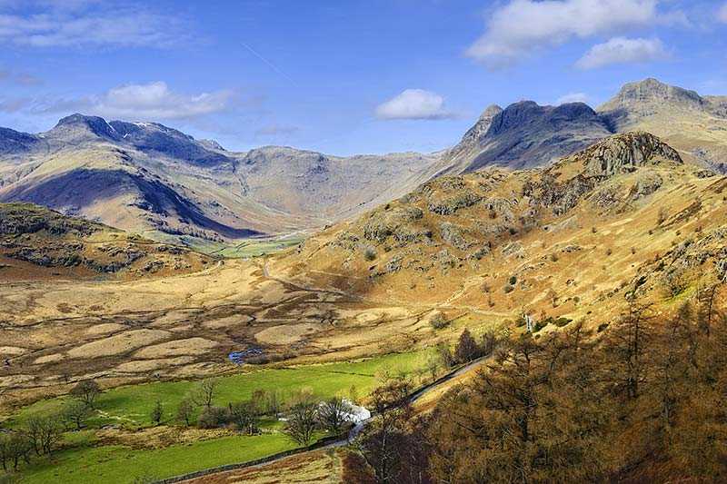
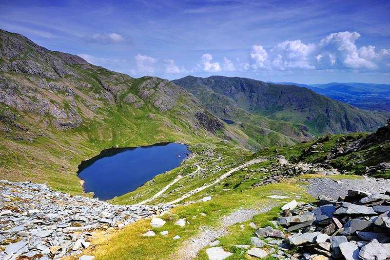
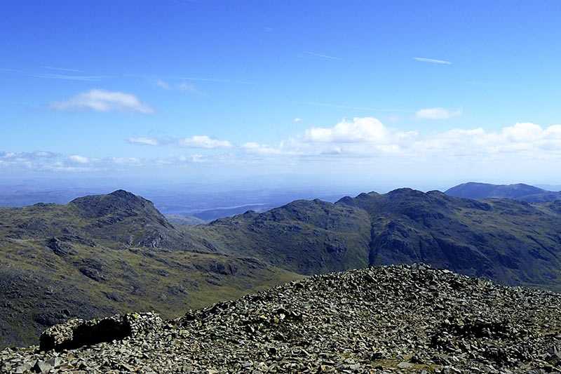
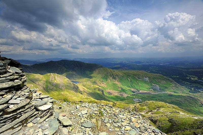
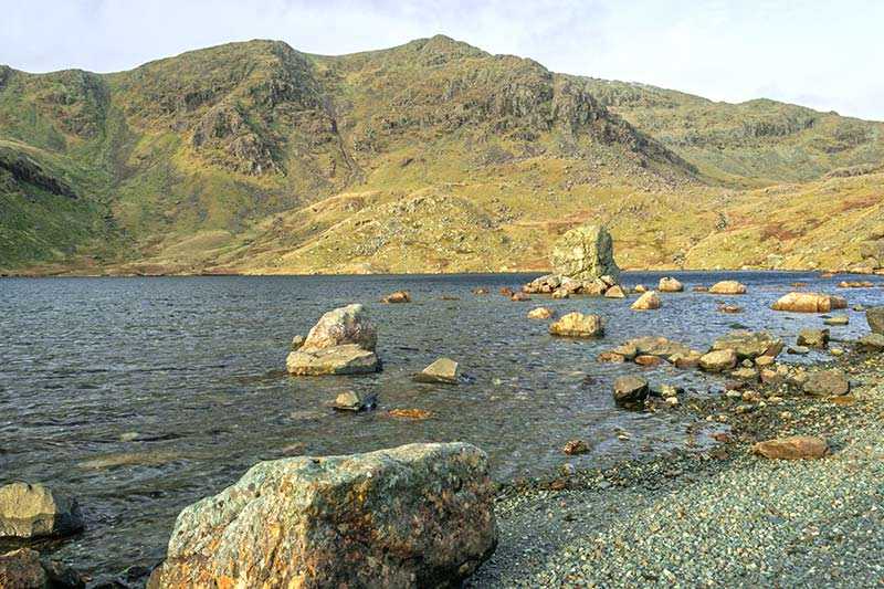
The fell’s southern side is grassy and gently sloping, while the northern face is strewn with rocks, scree and boulders. At the summit, the cairn stands on a largely hidden outcrop of rock and is formed from local stone and pieces of ironwork salvaged from a fence. There are good, uninterrupted views all round, and approaching the rim of the crags rewards walkers with an appealing view of Haweswater across its length.
Climbing Harter Fell (Mardale)
Harter Fell is commonly ascended via the old trade routes through the passes of Nan Bield (to the west) and Gatescarth (to the east). These are the easiest routes of ascent. When climbed from Mardale, a popular route, there is road access along the shore of the reservoir. The fell is sometimes summited as part of the Kentmere Horseshoe, an 18 km (11 mi) route which begins and ends at Kentmere Church and crosses the summits of Yoke, Ill Bell, Froswick, Thornthwaite Crag, Mardale Ill Bell, Harter Fell and Kentmere Pike over around 1,066 m (3,500 ft) of ascent.
