Illgill Head
Illgill Head is best known for comprising the northern section of the Wastwater Screes. The steep eroded slopes on the north-western flanks of Illgill Head and neighbouring Whin Rigg plunge down dr...
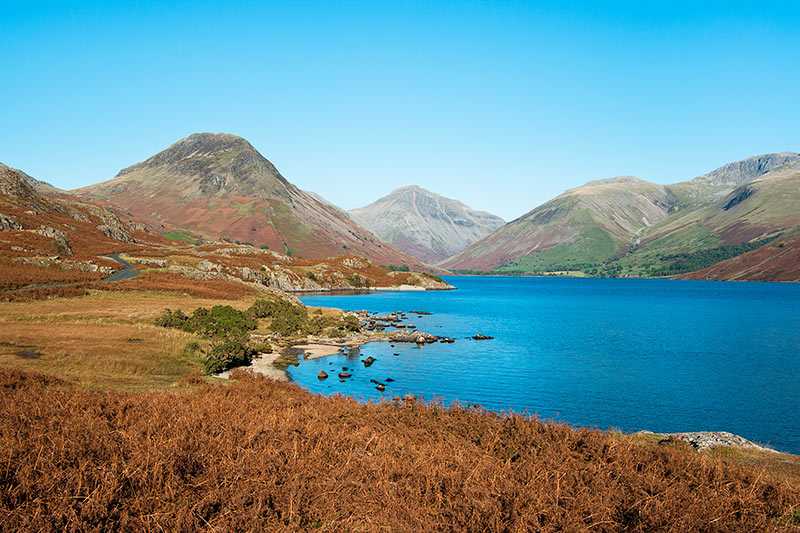
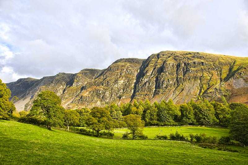
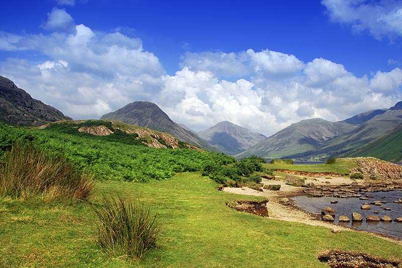
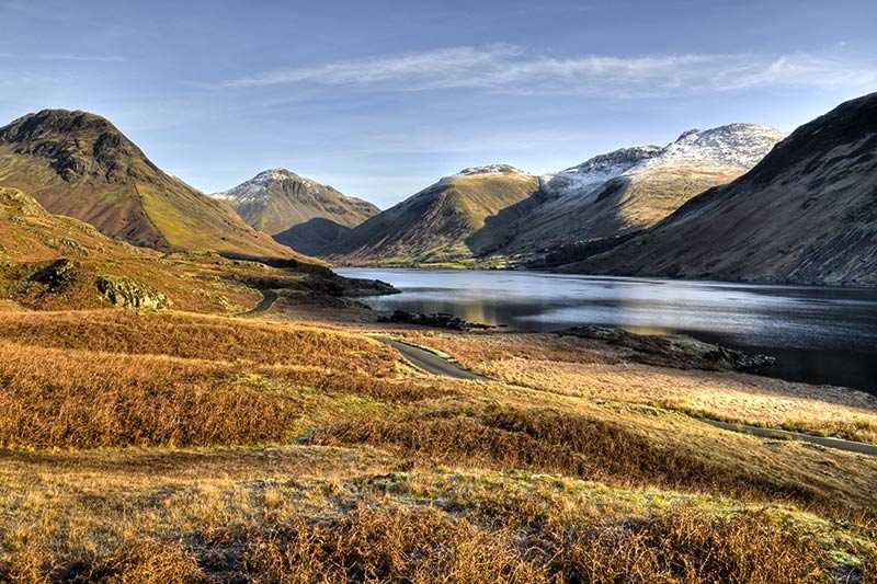
Illgill Head is best known for comprising the northern section of the Wastwater Screes. The steep eroded slopes on the north-western flanks of Illgill Head and neighbouring Whin Rigg plunge down dramatically for approximately 610 m (2,000 ft) from top to base, with around 61 m (200 ft) being below the water’s surface. The fell of Illgill Head itself has an elevation of 609 m (1,998 ft) and a pr...
Attractions near Illgill Head
Activities
About Illgill Head
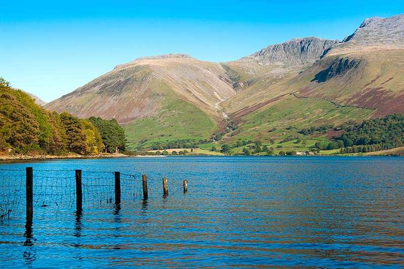
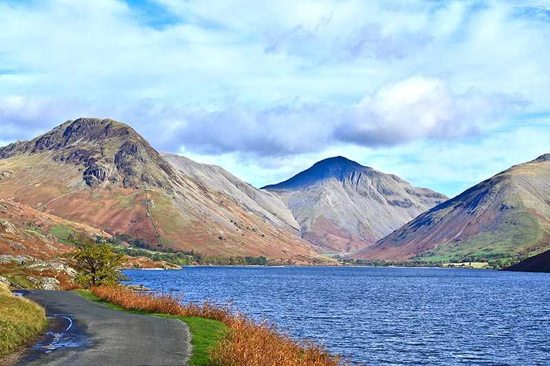
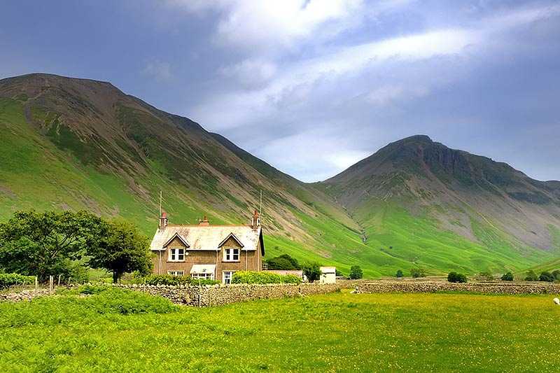
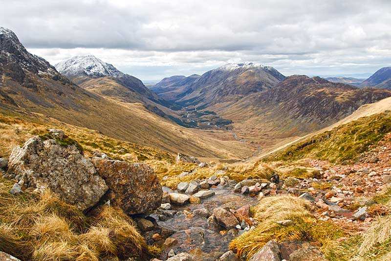
Illgill Head is best known for comprising the northern section of the Wastwater Screes. The steep eroded slopes on the north-western flanks of Illgill Head and neighbouring Whin Rigg plunge down dramatically for approximately 610 m (2,000 ft) from top to base, with around 61 m (200 ft) being below the water’s surface. The fell of Illgill Head itself has an elevation of 609 m (1,998 ft) and a prominence of 314 m (1,030 ft). Its parent peak is Scafell Pike and it is listed as a Marilyn and a Wainwright. Its summit, in contrast to the spectacular scree slopes, is rather featureless - there is a cairn on a grassy plateau. Views down the Screes are possible, but only with great care. A lakeside path along Wastwater’s south-eastern shore provides a close-up of the fell’s most remarkable feature.
