Moel Siabod
Moel Siabod is a summit in Snowdonia, region of Conwy, North Wales. The mountain stands isolated above the villages of Betws-y-Coed and Capel Curig. It is 872 m (2861 feet) high and is the highest...
Moel Siabod is a summit in Snowdonia, region of Conwy, North Wales. The mountain stands isolated above the villages of Betws-y-Coed and Capel Curig. It is 872 m (2861 feet) high and is the highest peak in the Moelwynion mountain group. At the foot of the summit is located The UK National Mountain Centre, Plas-y-Brenin. Clear days offers views of 13 or 14 highest peaks in Wales. It can be easily...
Things to do near Moel Siabod
Attractions near Moel Siabod
Activities
About Moel Siabod
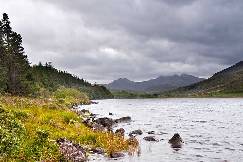
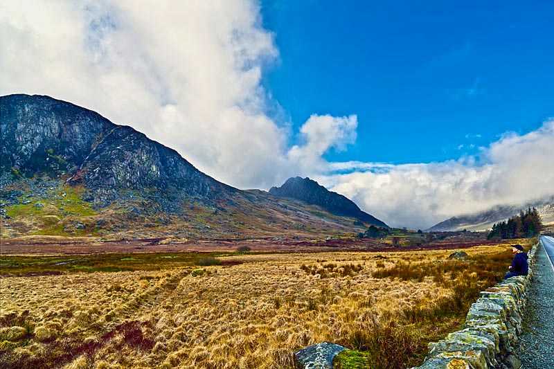
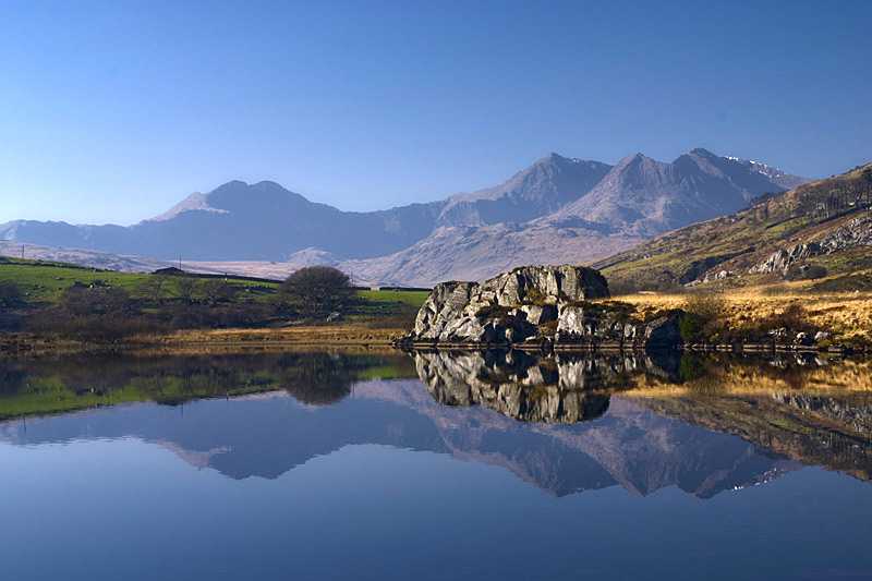
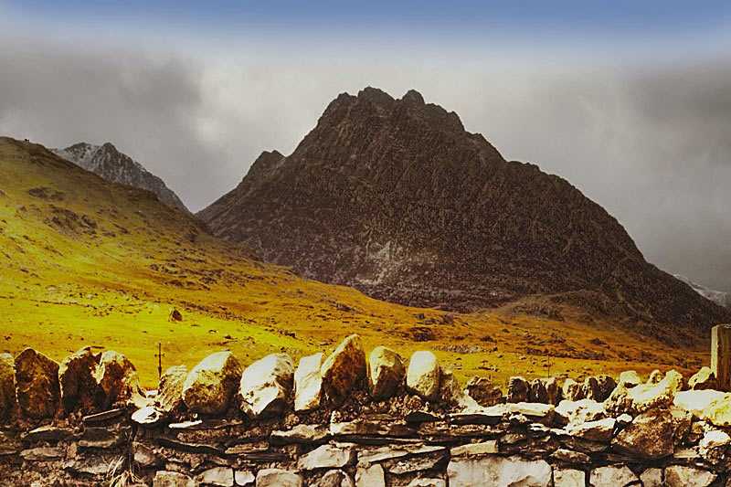
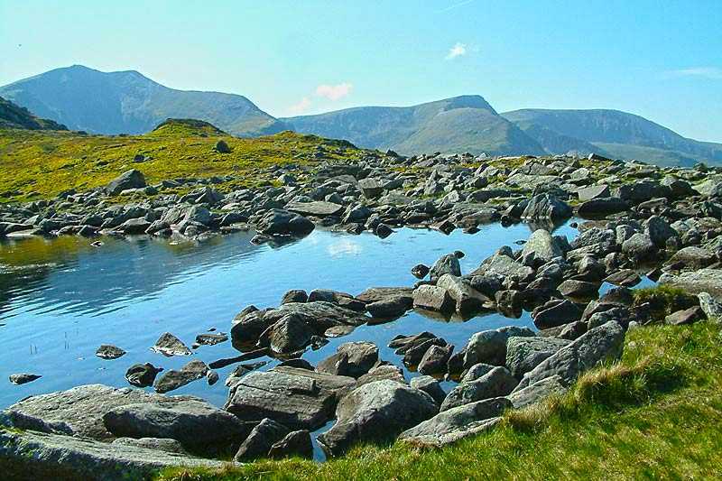
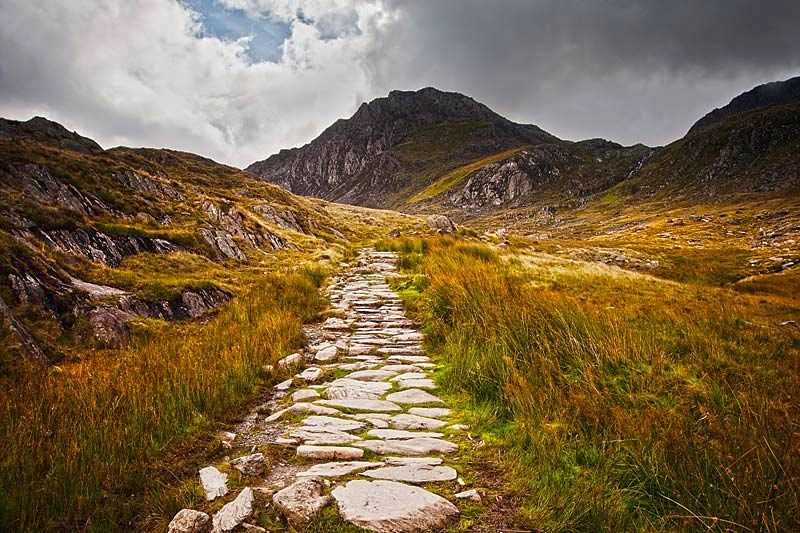
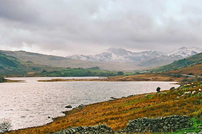
Moel Siabod is a summit in Snowdonia, region of Conwy, North Wales. The mountain stands isolated above the villages of Betws-y-Coed and Capel Curig. It is 872 m (2861 feet) high and is the highest peak in the Moelwynion mountain group. At the foot of the summit is located The UK National Mountain Centre, Plas-y-Brenin. Clear days offers views of 13 or 14 highest peaks in Wales. It can be easily accessed from Capel Curig and nearby Pont Cyfyng and via Dolwyddelan. The highest side of the summit forms a relatively rocky ridge running roughly south-west to north-east. In the north-east end of this ridge appears a rocky descent toward Pont Cyfyng. At the south-west side there is a much rockier slope that branches off to the east, as well as a couple of steep cliffs.
