Red Tarn (Helvellyn)
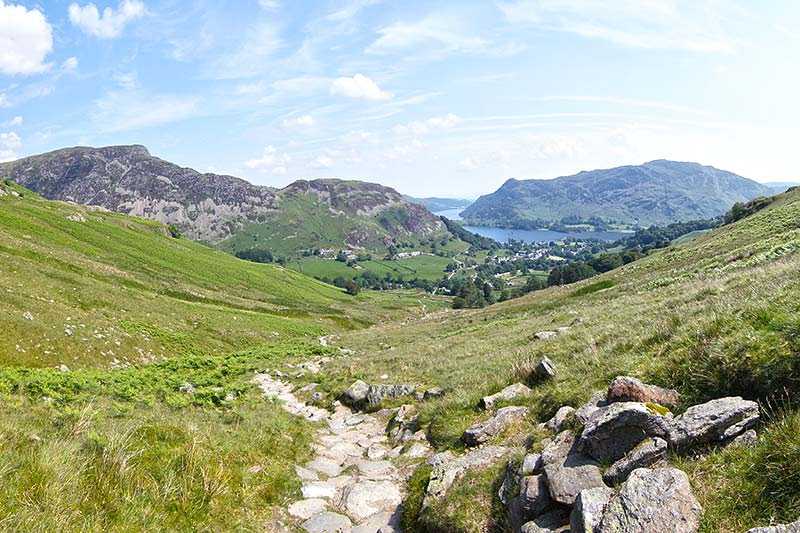
Red Tarn has a surface elevation of 718 m (2,356 ft), making it one of the highest bodies of water in the Lake District. It lies on the eastern flank of Helvellyn, surrounded by high ground on thre...
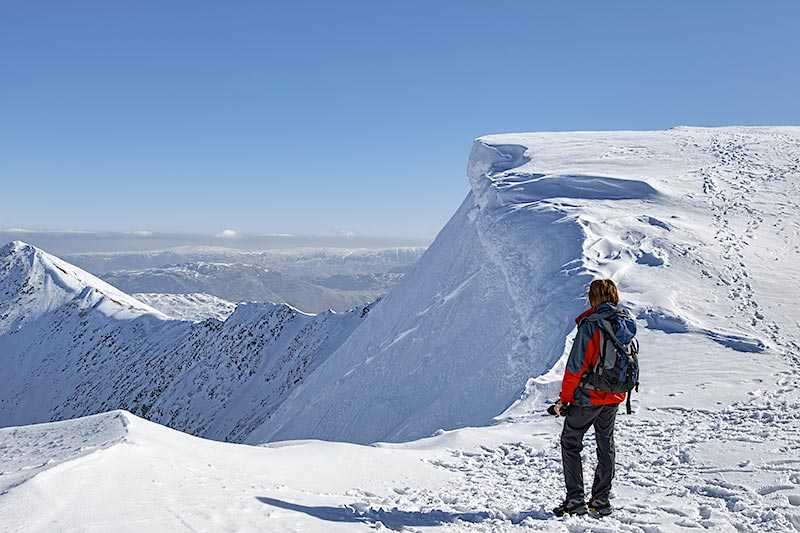
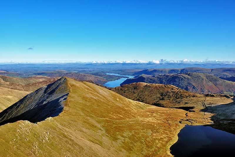
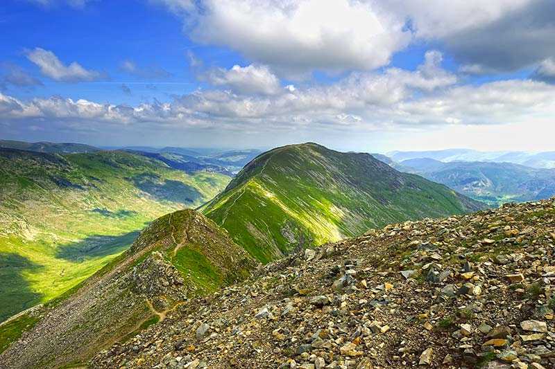
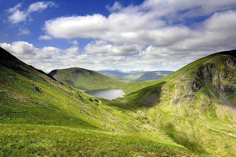
Red Tarn has a surface elevation of 718 m (2,356 ft), making it one of the highest bodies of water in the Lake District. It lies on the eastern flank of Helvellyn, surrounded by high ground on three sides. Notably, to the north is Swirral Edge, the rocky ridge that joins Catstye Cam to the main Helvellyn Plateau.
The tarn once used to supply power to the Greenside Lead Mine at Glenriddi...
Things to do near Red Tarn (Helvellyn)
Rock Climbing in Keswick
Canoe on Derwent Water
Climb in the Mine
Canoe River Trip
Paddle Boarding on Derwent Water
Ghyll Scrambling Water Adventure in the Lake District
Ultimate Full-Day Lake District Tour: 10 Lakes, Amazing Scenery & Lake Cruise
Kayak on Derwent Water
Private Sail and Dine Experience on Lake Windermere
8 Lakes in a Morning
Private Yorkshire Dales from Windermere in a 16 seater Mercedes
Private Sailing Experience on Lake Windermere
Lake District Walking Tour
4-Hour Private Lake Tours by 4x4
Private Sailing Experience on Lake Windermere
Ultimate Full-Day Lake District Tour: 10 Lakes, Amazing Scenery & Lake Cruise
Ultimate Full-Day Lake District Tour: 10 Lakes, Amazing Scenery & Lake Cruise
Private Family Bird of Prey Experience in Carlisle
Coniston Water Wild Cat Island Cruise Yellow Route
Error: AuthFailure
A problem with your API key prevents the map from rendering correctly. Please make sure the value of the APIProvider.apiKey prop is correct. Check the error-message in the console for further details.
Attractions near Red Tarn (Helvellyn)
Activities
About Red Tarn (Helvellyn)
Red Tarn has a surface elevation of 718 m (2,356 ft), making it one of the highest bodies of water in the Lake District. It lies on the eastern flank of Helvellyn, surrounded by high ground on three sides. Notably, to the north is Swirral Edge, the rocky ridge that joins Catstye Cam to the main Helvellyn Plateau.
The tarn once used to supply power to the Greenside Lead Mine at Glenridding and is now a popular location for wild camping. Trout fishing is permitted, although it’s a long walk and the views are said to be better than the sport. This is one of the few locations in England where the rare and endangered Schelly can be found.
