Scales Tarn
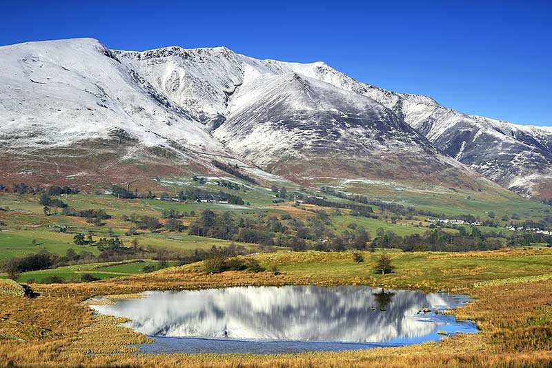
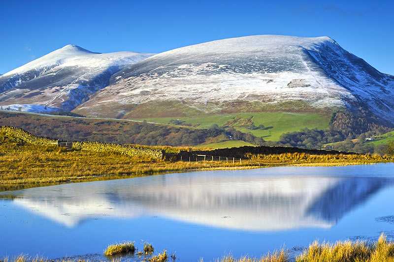
Scales Tarn lies beneath Sharp Edge on Blencathra (or Saddleback, as it is sometimes known). The tarn is at an elevation of 598 m (1,962 ft) and is often visited en route to the summit, used as a r...
Scales Tarn lies beneath Sharp Edge on Blencathra (or Saddleback, as it is sometimes known). The tarn is at an elevation of 598 m (1,962 ft) and is often visited en route to the summit, used as a resting place before ascending Sharp Edge. A steep scramble up this arête provides the most rewarding views of the water below and the surrounding fells. Local legend has it that the tarn is bottomless...
Attractions near Scales Tarn
Activities
About Scales Tarn
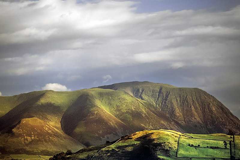
Scales Tarn lies beneath Sharp Edge on Blencathra (or Saddleback, as it is sometimes known). The tarn is at an elevation of 598 m (1,962 ft) and is often visited en route to the summit, used as a resting place before ascending Sharp Edge. A steep scramble up this arête provides the most rewarding views of the water below and the surrounding fells. Local legend has it that the tarn is bottomless and its overshadowed position means that the sunlight will never reach it – it is certainly deep, around 7.6 m (25 ft) and there is little in the way of fish or plant life in its waters. Its outflow runs into the River Glenderamackin.
