Tegg's Nose Country Park
About Tegg's Nose Country Park
Tegg’s Nose is a hill lying to the east of Macclesfield with an elevation of 380 m (1,250 ft) above sea level. It lies on the western edge of the Peak Distr...
About Tegg's Nose Country Park
Tegg’s Nose is a hill lying to the east of Macclesfield with an elevation of 380 m (1,250 ft) above sea level. It lies on the western edge of the Peak District and much of it is within the Tegg’s Nose Country Park. Once mined for millstone grit, it is now rich in wildlife with a range of habitats including moorland, meadows, farmland and broadleaved wood...
Things to do near Tegg's Nose Country Park
Caving Adventure Experience in the Derbyshire Peak District
Peak District Tour App, Hidden Gems Game and Big Britain Quiz (7 Day Pass) UK
Manchester Outdoor City Hunt
moviESCAPE Stockport Santa's Express Christmas Escape Room Game
Outdoor Scavenger Hunt Manchester
Private City Walking Tour in Manchester
Fun City Scavenger Hunt in Manchester by Zombie Scavengers
Zombie Scavengers Game - Wigan, UK
Private Tour: The Lake District from Manchester
moviESCAPE Stockport Haunted House II Demon's Curse Escape Room
Map Reading and Navigation Course in Peak District
White Water Paddleboarding (SUP) Experience
Sheffield Self-Guided Interactive Treasure Hunt
Peak District – Online Self-Guided Road Trip Plan
Fun, Flexible Treasure Hunt Around Sheffield with Cryptic Clues & Hidden Gems
Indoor Illuminated 9 Hole Golf in Matlock Bath Peak District
Immersive Murder Mystery in Sheffield - Outdoor Escape Experience
Sheffield Tour App, Hidden Gems Game and Big Britain Quiz (1 Day Pass) UK
| ← | Move left |
| → | Move right |
| ↑ | Move up |
| ↓ | Move down |
| + | Zoom in |
| - | Zoom out |
| Home | Jump left by 75% |
| End | Jump right by 75% |
| Page Up | Jump up by 75% |
| Page Down | Jump down by 75% |
Attractions near Tegg's Nose Country Park
Activities
About Tegg's Nose Country Park
About Tegg's Nose Country Park
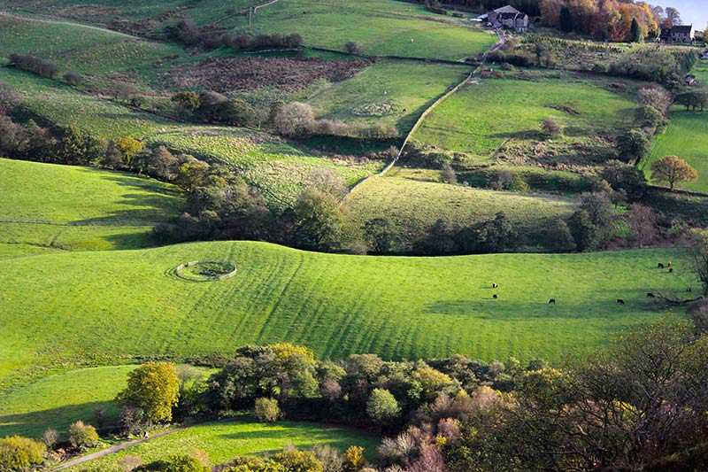
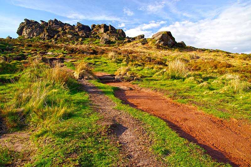
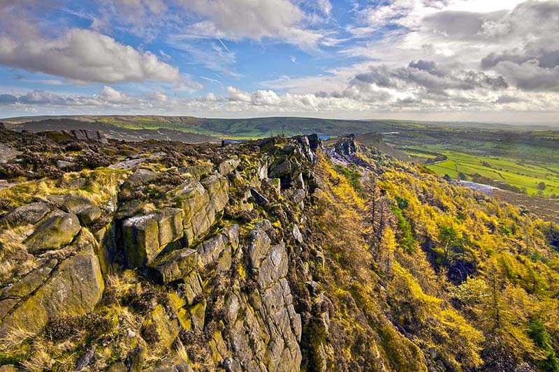
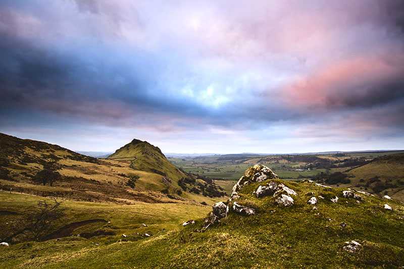
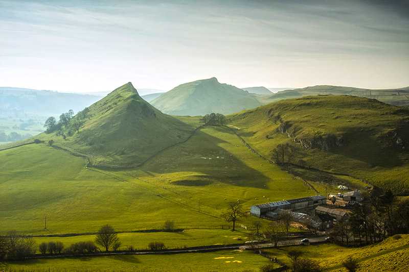
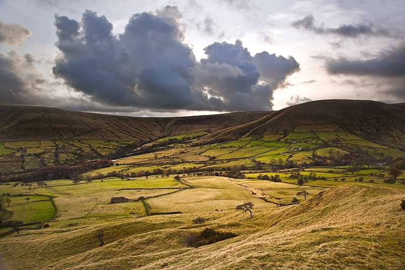
Tegg’s Nose is a hill lying to the east of Macclesfield with an elevation of 380 m (1,250 ft) above sea level. It lies on the western edge of the Peak District and much of it is within the Tegg’s Nose Country Park. Once mined for millstone grit, it is now rich in wildlife with a range of habitats including moorland, meadows, farmland and broadleaved woodland.
It is suitable for a wide variety of activities including walking, fell running, orienteering, cycling and mountain biking, horse riding and rock climbing.
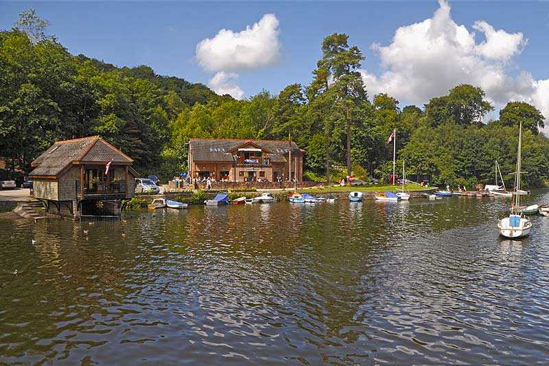
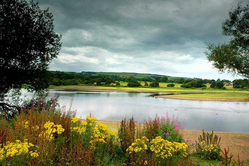
Fishing is possible in Teggsnose and Bottoms Reservoirs, which lie at the base of the hill to the south. The site is criss-crossed with footpaths and bridleways and a popular walk is the Tegg’s Nose Trail, a 4 km (2.5 mi) waymarked circular route.
