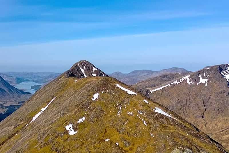
Beinn Achaladair
About Beinn Achaladair
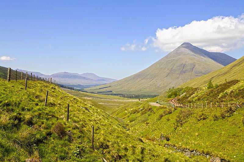
Beinn Achaladair is a Munro located six kilometres north east of the Bridge of Orchy, Argyll region. Its elevation is 1,038 metres (3,406 feet) and its prominence i...
About Beinn Achaladair
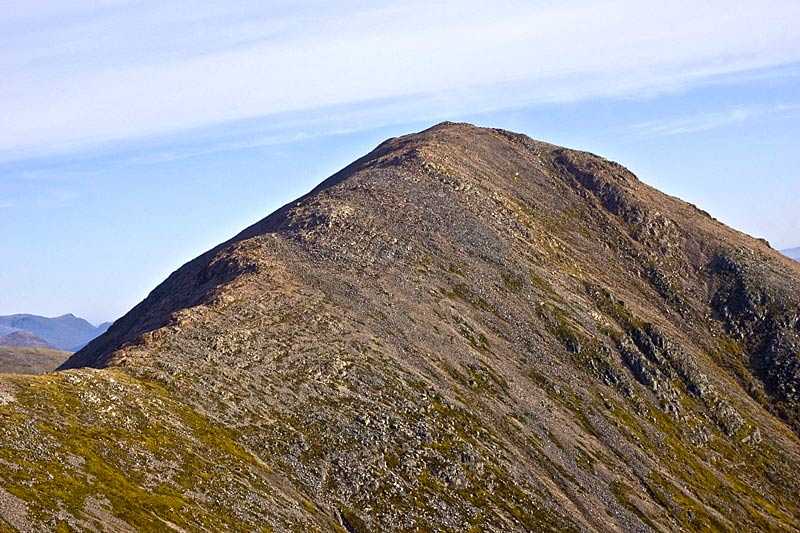
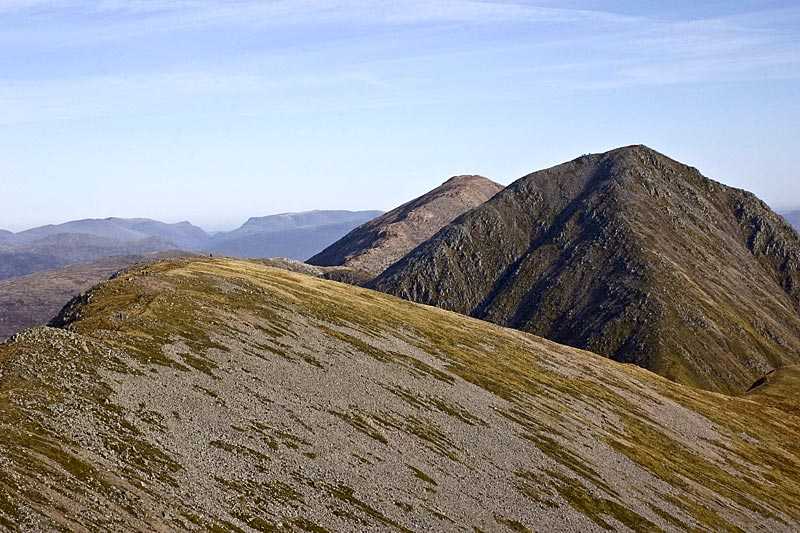
Beinn Achaladair is a Munro located six kilometres north east of the Bridge of Orchy, Argyll region. Its elevation is 1,038 metres (3,406 feet) and its prominence is 225 m (738 ft). The curved summit ridge is almost 2 km (1.4 mi) in length, running from north to south.
The summit is at the northern end and marked with one of two cairns which stand in clo...
Attractions near Beinn Achaladair
Activities
About Beinn Achaladair
About Beinn Achaladair
Beinn Achaladair is a Munro located six kilometres north east of the Bridge of Orchy, Argyll region. Its elevation is 1,038 metres (3,406 feet) and its prominence is 225 m (738 ft). The curved summit ridge is almost 2 km (1.4 mi) in length, running from north to south.
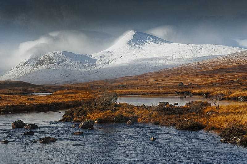
The summit is at the northern end and marked with one of two cairns which stand in close proximity to each other. From here, there are fine views down onto Rannoch Moor and, on a clear day, right up to the ridges of Glencoe and Lochaber as well as an overview of the Crianlarich Hills.
There are two corries on its slopes, Coire nan Clach to the east of the summit ridge and Corrie Achaladair, to the south. This Munro is usually ascended in conjunction with Beinn a’Chreachain to the north east, the trip usually beginning from Achallader Farm.
