Low Force (on River Tees)
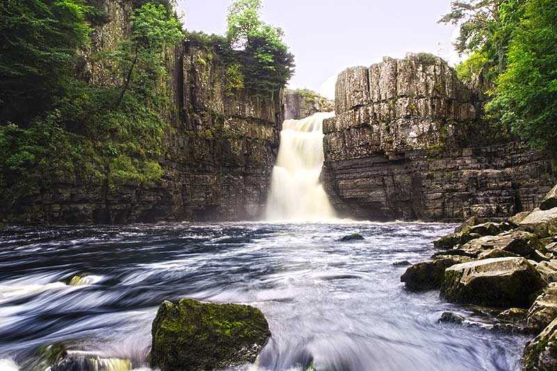
Low Force is a waterfall located within the North Pennines Area of Outstanding Natural Beauty (AONB) and European Geopark. The 18 ft (5.5 m) high set of falls stands on the River Tees, in England,...
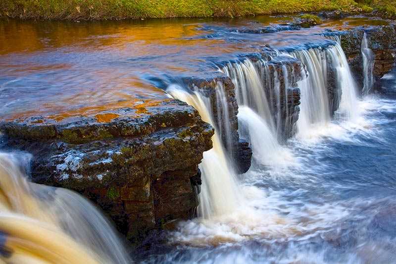
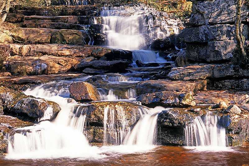
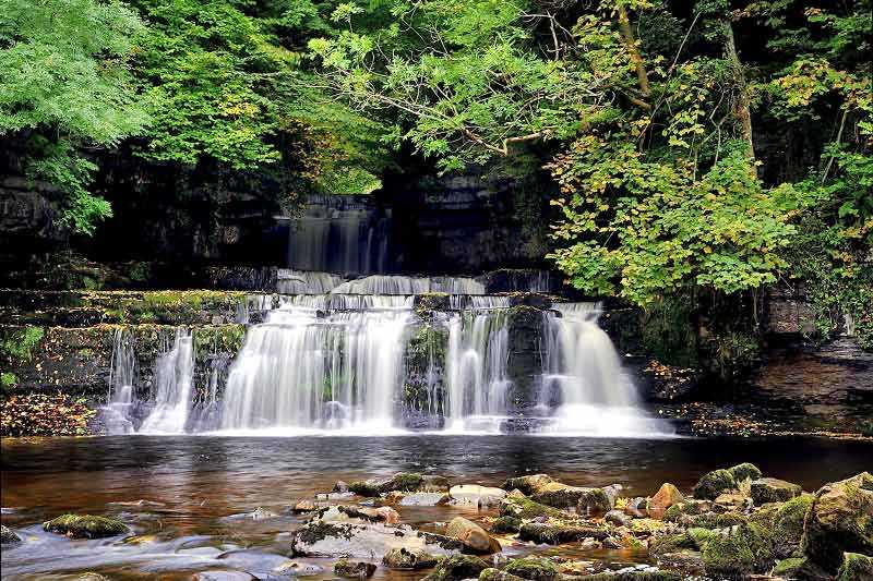
Low Force is a waterfall located within the North Pennines Area of Outstanding Natural Beauty (AONB) and European Geopark. The 18 ft (5.5 m) high set of falls stands on the River Tees, in England, about 1.5 mi (2.4 km) downstream from the High Force waterfall.
Low Force tumbles over the Whin Sill, a layer of hard dolerite rock (known locally as whinstone) formed 295 million years ago f...
Attractions near Low Force (on River Tees)
Activities
About Low Force (on River Tees)
Low Force is a waterfall located within the North Pennines Area of Outstanding Natural Beauty (AONB) and European Geopark. The 18 ft (5.5 m) high set of falls stands on the River Tees, in England, about 1.5 mi (2.4 km) downstream from the High Force waterfall.
Low Force tumbles over the Whin Sill, a layer of hard dolerite rock (known locally as whinstone) formed 295 million years ago from molten rock, which cooled and solidified underground. The fall is also the site of the Wynch Bridge, completed in 1830.
Low Force is situated near the hamlet of Bowlees in Upper Teesdale and is easily accessible from Bowlees Visitor Centre. The Pennine Way footpath route also runs alongside the river at Low Force.
