Stroudwater Navigation
The Stroudwater Navigation is 12.9 km (8 mi) long and will form part of the Cotswold Ring when restoration is complete. It was opened in 1779 and its purpose was to link Stroud to the Severn Estuar...
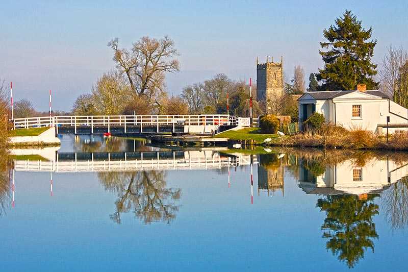
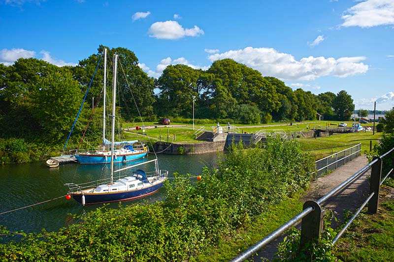
The Stroudwater Navigation is 12.9 km (8 mi) long and will form part of the Cotswold Ring when restoration is complete. It was opened in 1779 and its purpose was to link Stroud to the Severn Estuary.
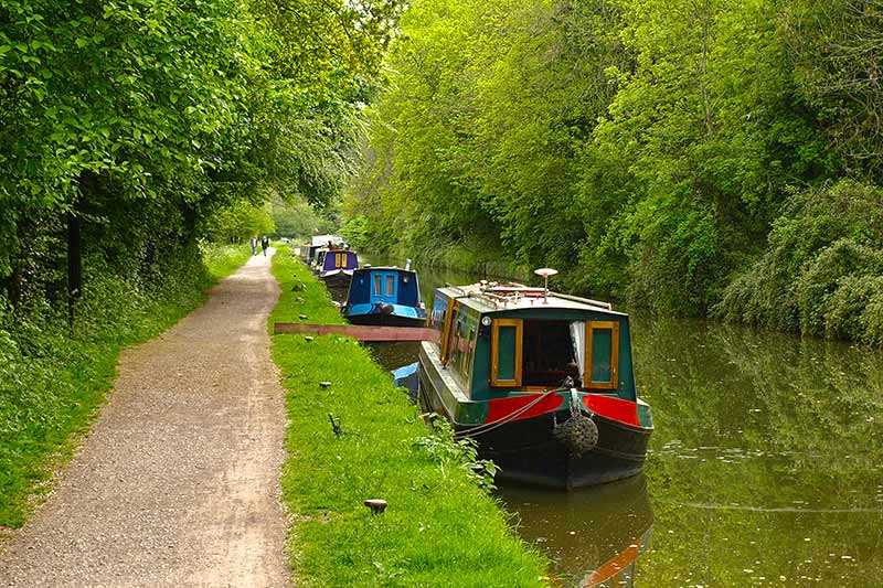
Although many lengths of the canal are not yet open for navigation, the towpath which runs alongside the canal is clear for walking and cycling and the canal banks are alive with wildlife.
Attractions near Stroudwater Navigation
Activities
About Stroudwater Navigation
The Stroudwater Navigation is 12.9 km (8 mi) long and will form part of the Cotswold Ring when restoration is complete. It was opened in 1779 and its purpose was to link Stroud to the Severn Estuary.
Although many lengths of the canal are not yet open for navigation, the towpath which runs alongside the canal is clear for walking and cycling and the canal banks are alive with wildlife.
There is also plenty of industrial heritage, mainly in the form of Cotswold stone textile mills which can be found along the way. Fishing rights are leased to local angling clubs along the route.
