Watendlath Tarn
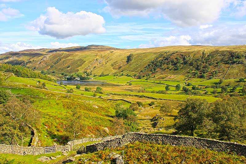
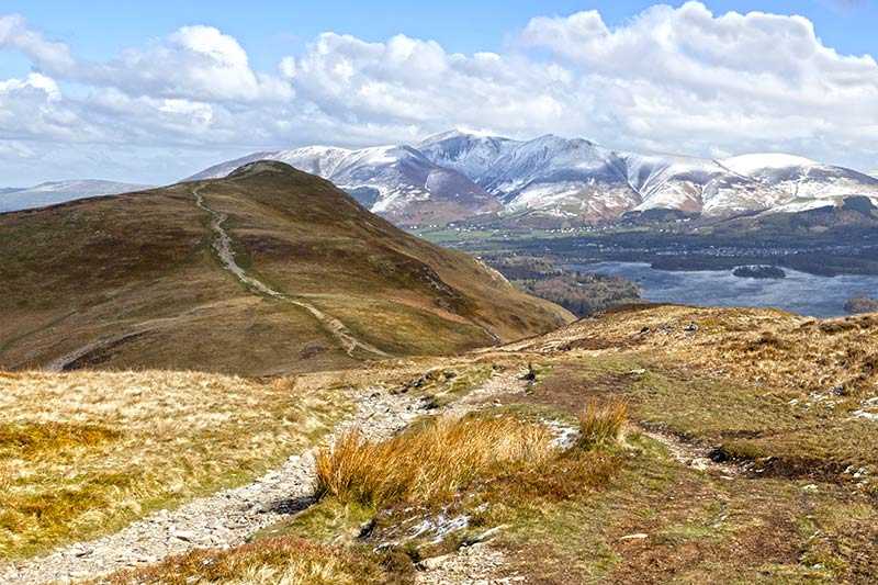
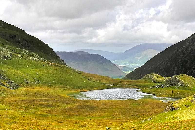
Watendlath Tarn covers around seven acres (28,000 m2) and has a maximum depth of 17 m (56 ft). It is located high between the valleys of Borrowdale and Thirlmere and is just a few kilometres south...
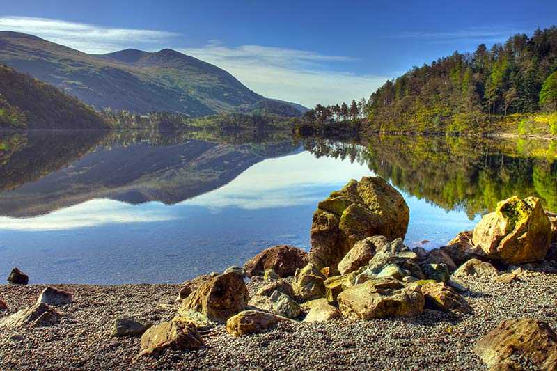
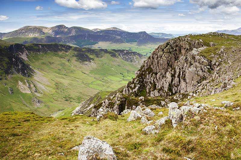
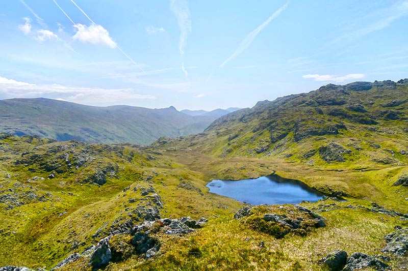
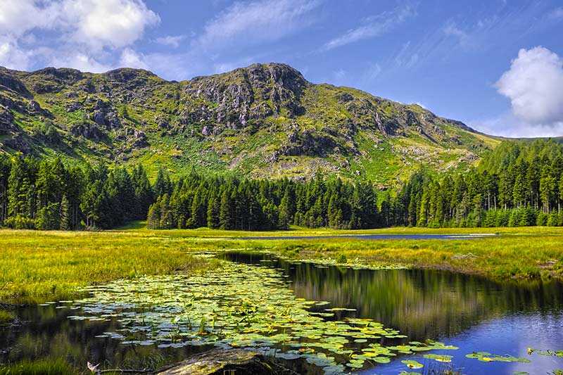
Watendlath Tarn covers around seven acres (28,000 m2) and has a maximum depth of 17 m (56 ft). It is located high between the valleys of Borrowdale and Thirlmere and is just a few kilometres south of Keswick. Its inflow is Blea Tarn Gill from Blea Tarn above, and its waters eventually flow down into Derwent Water. It’s possible to walk here on paths from Rosthwaite or Stonethwaite in Borrowdale...
Things to do near Watendlath Tarn
Paddle Boarding on Derwent Water
Rock Climbing in Keswick
Canoe on Derwent Water
Climb in the Mine
Canoe River Trip
Ghyll Scrambling Water Adventure in the Lake District
3-Hours Via Ferrata Experience in Keswick
Ultimate Full-Day Lake District Tour: 10 Lakes, Amazing Scenery & Lake Cruise
Private Sail and Dine Experience on Lake Windermere
Private Yorkshire Dales from Windermere in a 16 seater Mercedes
8 Lakes in a Morning
Private Sailing Experience on Lake Windermere
Lake District Walking Tour
4-Hour Private Lake Tours by 4x4
Private Sailing Experience on Lake Windermere
Private Lake District Tour: Ten Lakes Spectacular
Ultimate Full-Day Lake District Tour: 10 Lakes, Amazing Scenery & Lake Cruise
Private Family Bird of Prey Experience in Carlisle
Coniston Water Campbells On Coniston Cruise
Coniston Water Wild Cat Island Cruise Yellow Route
Ullswater Lake District Return Cruise from Pooley Bridge Pier
Coniston Water Swallows and Amazons Cruise
| ← | Move left |
| → | Move right |
| ↑ | Move up |
| ↓ | Move down |
| + | Zoom in |
| - | Zoom out |
| Home | Jump left by 75% |
| End | Jump right by 75% |
| Page Up | Jump up by 75% |
| Page Down | Jump down by 75% |
Attractions near Watendlath Tarn
Activities
About Watendlath Tarn
Watendlath Tarn covers around seven acres (28,000 m2) and has a maximum depth of 17 m (56 ft). It is located high between the valleys of Borrowdale and Thirlmere and is just a few kilometres south of Keswick. Its inflow is Blea Tarn Gill from Blea Tarn above, and its waters eventually flow down into Derwent Water. It’s possible to walk here on paths from Rosthwaite or Stonethwaite in Borrowdale and there is limited parking near Watendlath Farm, so the car park is often full in summer. Most of the tarn’s shores are accessible for fishing for rainbow and wild brown trout, although it can get boggy in places. Boats are available for hire.
