South Uist National Scenic Area
South Uist is a 32,026 ha (124 sq. mi) island at the border with Barra and Benbecula in the Na h-Eileanan Siar region, in Scotland. The east part of the island is mountainous, the highest summit be...
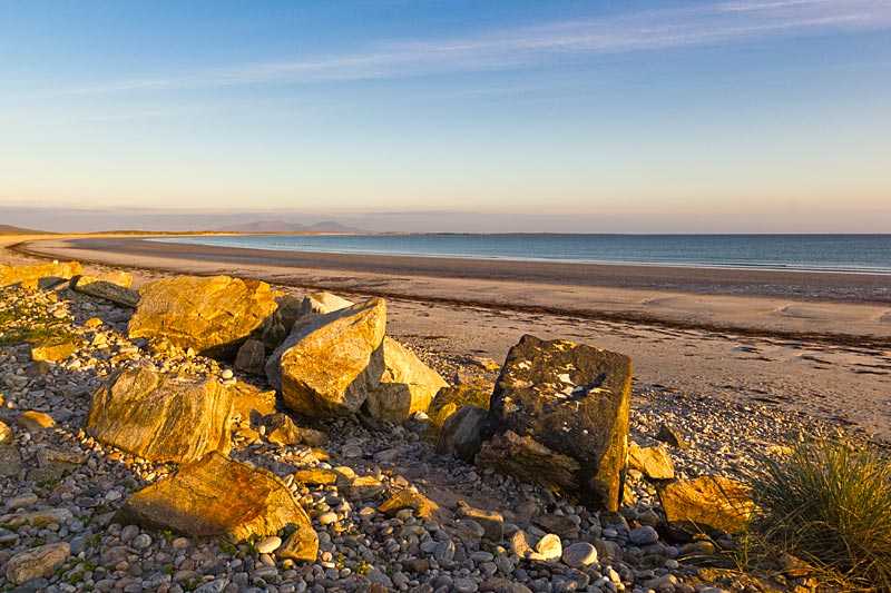
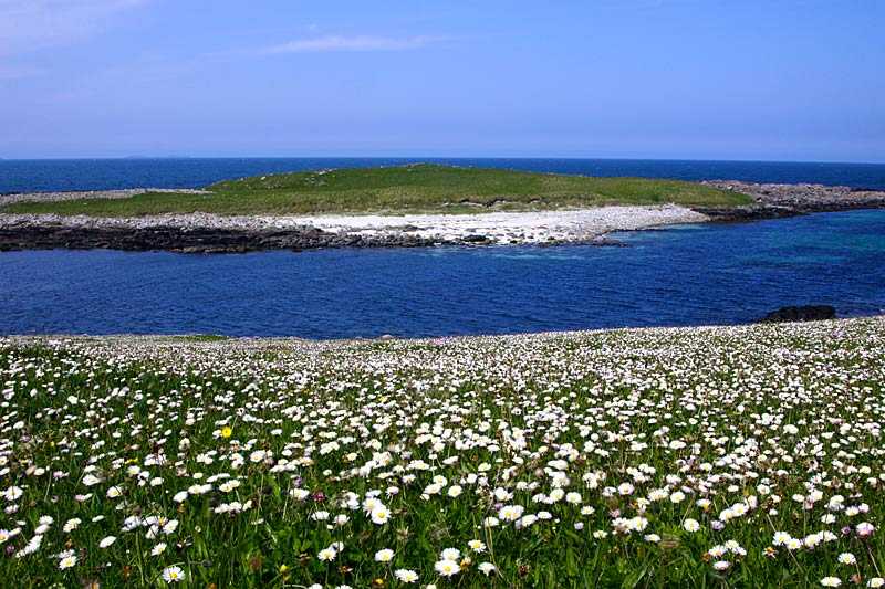
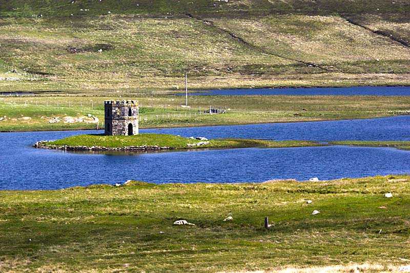
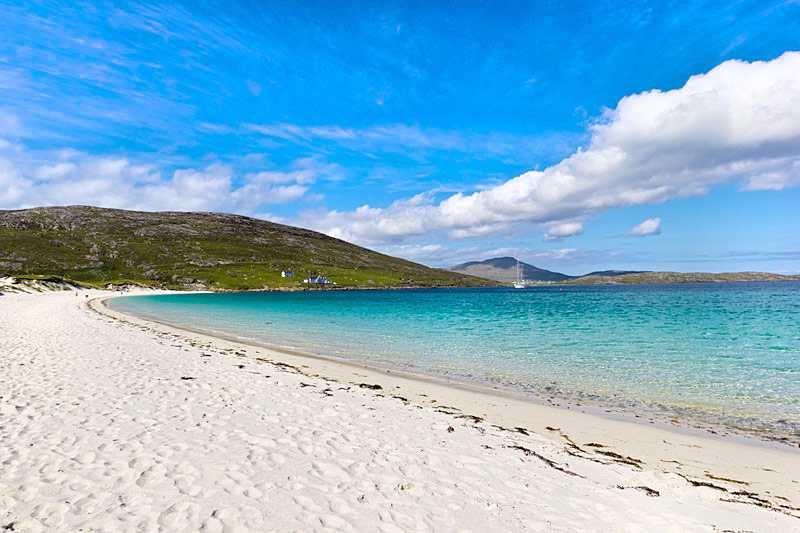
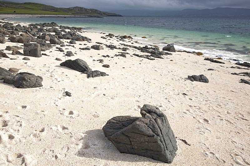
South Uist is a 32,026 ha (124 sq. mi) island at the border with Barra and Benbecula in the Na h-Eileanan Siar region, in Scotland. The east part of the island is mountainous, the highest summit being Beinn Mhor, at 2,034 feet. The west side is featured by a couple of the top beaches, a long path of sandy stretches leaned by dunes and flower-filled machair (fertile low-lying coastal plain). Tou...
Attractions near South Uist National Scenic Area
Activities
About South Uist National Scenic Area
South Uist is a 32,026 ha (124 sq. mi) island at the border with Barra and Benbecula in the Na h-Eileanan Siar region, in Scotland. The east part of the island is mountainous, the highest summit being Beinn Mhor, at 2,034 feet. The west side is featured by a couple of the top beaches, a long path of sandy stretches leaned by dunes and flower-filled machair (fertile low-lying coastal plain). Tourism is vital to the island's economy and attractions include the Kildonan Museum housing the sixteenth century Clanranald Stone and the remains of the house where Flora MacDonald was born.
