Aonach Eagach
About Aonach Eagach
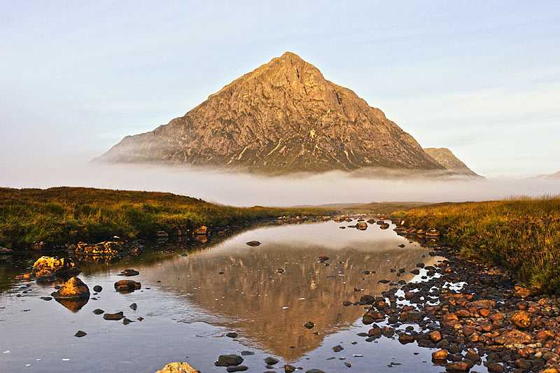
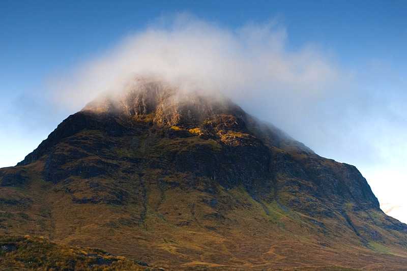
The Aonach Eagach is a rocky ridge extending west to east for around 10 km (6.3 mi) and lying to the north of Glen Coe. Its highest point is Sgorr nam Fiannaidh at 953...
About Aonach Eagach
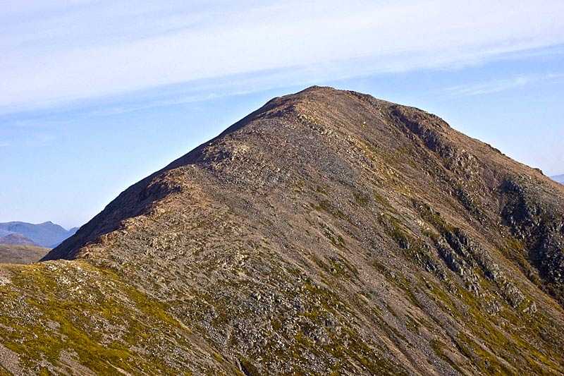
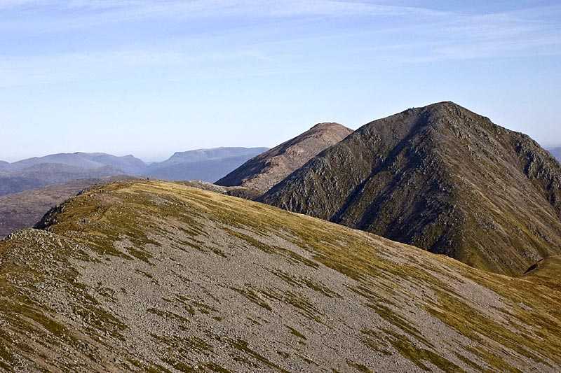
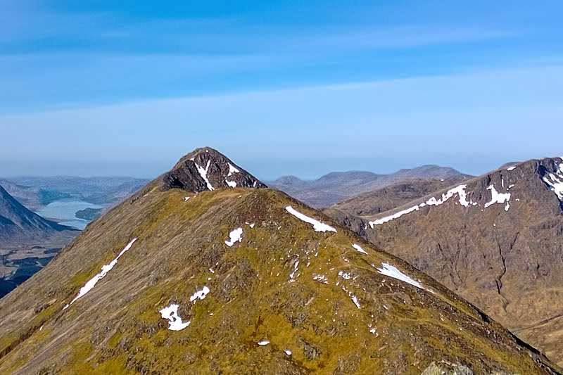
The Aonach Eagach is a rocky ridge extending west to east for around 10 km (6.3 mi) and lying to the north of Glen Coe. Its highest point is Sgorr nam Fiannaidh at 953 m (3,127 ft), with a prominence of 622 m (2,041 ft), which is listed as a Munro. A subsidiary top Meall Dearg, is also a Munro at 953 m (3,126 ft).
The usual route for crossing the ridge is f...
Things to do near Aonach Eagach
Attractions near Aonach Eagach
Activities
About Aonach Eagach
About Aonach Eagach
The Aonach Eagach is a rocky ridge extending west to east for around 10 km (6.3 mi) and lying to the north of Glen Coe. Its highest point is Sgorr nam Fiannaidh at 953 m (3,127 ft), with a prominence of 622 m (2,041 ft), which is listed as a Munro. A subsidiary top Meall Dearg, is also a Munro at 953 m (3,126 ft).
The usual route for crossing the ridge is from east to west, beginning the ascent at Allt-na-reigh on the Glencore road up to Am Bodach. It is widely considered to be the most challenging and narrowest horizontal climbing ridge on the British mainland. Some sections are extremely exposed and provide a thrilling and sensational test for passionate scramblers, who will require good navigational, path finding and mountaineering skills.
